 The National Food Security Division in the Ministry of Agriculture Livestock and Fisheries in collaboration with the Sokoine University of Agriculture (SUA) and University of Maryland (USA) is implementing a project aiming at transforming agricultural sector through a technological breakthrough based on crop monitoring.
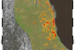
The project, Spurring Transformation for Agriculture through Remote Sensing (STARS) adapts and develops advanced remote sensing techniques and applications for monitoring crop conditions in collaboration with the end-user community.
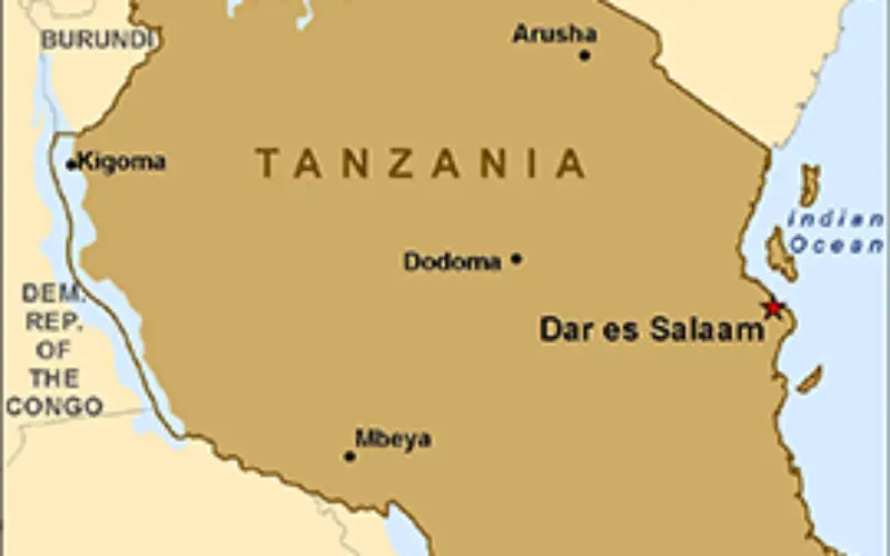
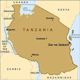
Speaking in Dar es Salaam recently during a stakeholders’ workshop Prof. Siza Tumbo from Sokoine University of Agriculture (SUA) underscored the need for timely availability of accurate data on crops development.
He said accessing electronic reports on crops development from district agricultural officers was a challenge caused by network problems rampant in rural areas. He said the data was crucial for prediction of food production dependent on weather information.
Prof. Tumbo urged stakeholders and decision makers to ensure the use of provided data following fast approval of the report bulletins.
“We will have at least twelve crop bulletins each year…the documents will be given to decision makers at government level,” he said.
In his presentation, the Ministry’s Principal Agricultural Officer, Wilson Katunzi said the main objective of introducing the national food security bulletin was to update decision makers and the public on crops growth stages, condition, prices and post harvest to help them in planning and management.
According to Katunzi the bulletin will basically carry information of major crops such as cassava, beans, paddy and maize that contributes 40 per cent to the national food basket.
But other objective of the crop bulletin under the STAR project, according to Katunzi is to improve availability, accessibility and promote the use of food security information in the country.
Catherine Nakalembe from Maryland University said the crop monitoring and the national monthly bulletin will have direct implication on small holder farmers, who would benefit from more informed government decisions, but cited shortage of human resource as a challenge facing the project.
Permanent Secretary in the Ministry of Agriculture, Livestock and Fisheries Dr Yohana Budeba said the STAR project would help National Food Security Department (NFSD) in deploying a user-friendly, satellite-based crop condition monitoring system with the primary goal of enabling it to satellite imagery technology to support crop condition assessments.
Source: IIP Media