
Courses

NASA ARSET Training: Introduction to Synthetic Aperture Radar
NASA ARSET Training: Introduction to Synthetic Aperture Radar Dates: Wednesday, June 28, 2017 to Thursday, July 6, 2017 Times: 12:00-1:00 p.m. and 9:00-10:00 p.m. EDT (UTC-4) Introduction: A limitation of optical satellite remote
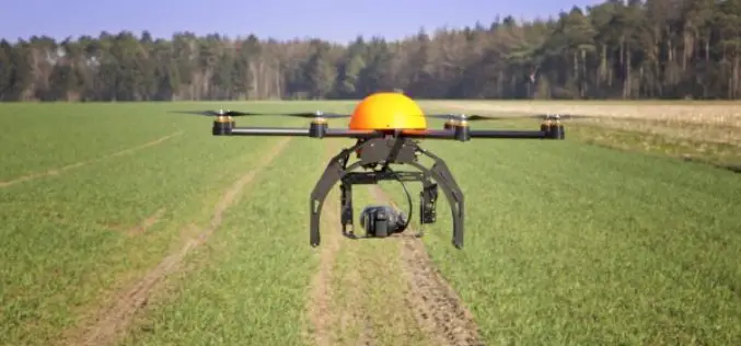
Drones in Agriculture and Hands-On Drone-to-GIS Workflows
Hands-On Drone-to-GIS Workflows Sponsored by the Michigan State University Institute of Agricultural Technology, in coordination with RS&GIS and Northwest Michigan College. This unique and comprehensive, instructor-led training course is taught

Training Course on GIS and Remote Sensing for Agricultural Resource Management
Training course on GIS and Remote Sensing for agricultural resource management April 17, 2017 – April 21, 2017 For optimum utilization of available agricultural land resources on a sustainable basis,

ICBA Workshop on Unmanned Aerial Vehicles for Remote Sensing and Photogrammetry
Unmanned Aerial Vehicles for Remote Sensing and Photogrammetry Monday, March 20, 2017 – Wednesday, March 29, 2017 International Center for Biosaline Agriculture (ICBA) is an international, non-profit agricultural research center

Register Now For Esri MOOC Program: Earth Imagery at Work
Earth Imagery at Work February 1, 2017 – March 14, 2017 Digital images of earth’s surface produced by remote sensing are the basis of modern mapping. They are also used to
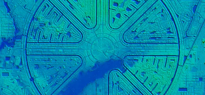
NOAA Offers LiDAR Coastal Mapping Training
The National Oceanic and Atmospheric Administration (NOAA) has launched a self-paced, 80-minute online training introducing several fundamental concepts of LiDAR to help you get more out of your LiDAR point cloud data. The

Course on GIS Analysis with QGIS
GIS Analysis with QGIS 6-10 February 2017 QGIS is the most popular and reliable Open Source GIS in the world. QGIS is currently used in Universities, Public Facilities and private
NASA ARSET – Remote Sensing Training: Methods & Best Practices
Remote Sensing Training: Methods & Best Practices Thursdays, October 13-27, 2016 10:00 – 11:30 a.m. and 5:00 – 6:30 p.m. EDT (UTC-4) The goal of the NASA Applied Remote Sensing

Training Course on GIS and Remote Sensing For Climate Change Impact Analysis and Adaptation
Training Course on GIS and Remote Sensing For Climate Change Impact Analysis and Adaptation October 10 – October 14, 2016 This training will offer a set of methods and techniques
EUFAR/ ESA Expert Workshop on Atmospheric Correction of Remote Sensing Data
An expert workshop on atmospheric correction of remote sensing data will be held from 26 to 28 October 2016 at the Harnack Haus of the Max Planck Society, in Berlin, Germany.
