
Archive
![High-quality Online GIS Program @ Penn State University [World Campus]](https://gisresources.com/wp-content/uploads/2013/09/pen-state-677x316_c.jpg)
High-quality Online GIS Program @ Penn State University [World Campus]
Choose your career path through Penn State World Campus, you can choose from more than 90 of the most in-demand online degree and certificate programs in a wide range of
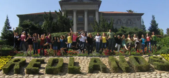
MS in GIS @ University of Redlands, California
University of Redlands offers Master of Science in Geographic Information Systems (GIS)Program is an intensive, one-year residential program in beautiful Redlands, California, home to the world’s leading GIS company, Esri. The Master of Science
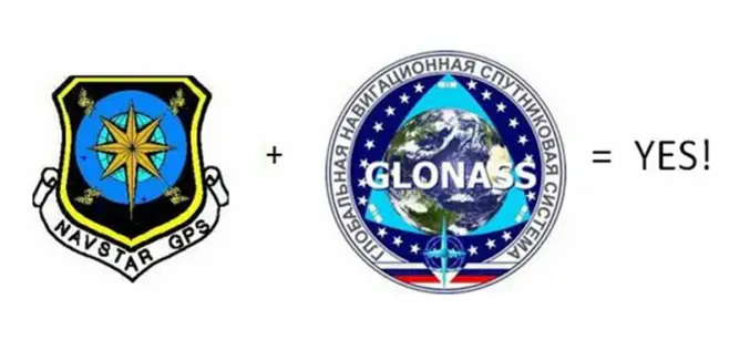
GLONASS + GPS = Many Advantages
The system GPS (Global Positioning System) has revolutionized in recent years the techniques of surveying. But the GPS system is not the only existing satellite constellation, in fact at the

An Overview and Definition of GIS by D J Maguire
An Overview and Definition of GIS by D J Maguire Download An Overview and Definition of GIS by D J Maguire “This blog does not host any contents or data.
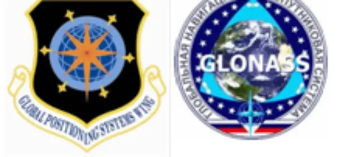
GPS and GLONASS: Similarity and Differences
Global Positioning System (GPS) and Global Navigation Satellite System (GLONASS) are very similar satellite navigation systems, but differences are significant:
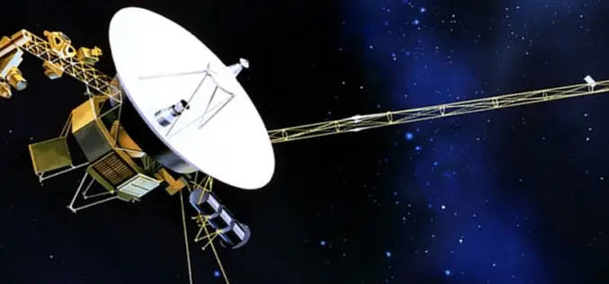
NASA’s Voyager 1 First To Venture Into Interstellar Space
Washington: US space agency NASA said Thursday that its Voyager 1 spacecraft has become the first man-made object to venture into interstellar space. New and “unexpected” data indicated 36 years
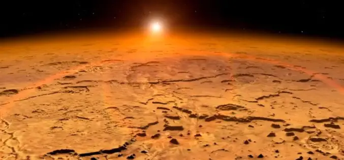
The Mangalyaan – India’s Journey to Mars
Submitted by: The Mangalyaan mission or Mars Orbiter Mission (MOM) is a planned Mars orbiter to be launched in November 2013 by the Indian Space Research Organisation (ISRO). The mission is a “technology demonstrator” project aiming
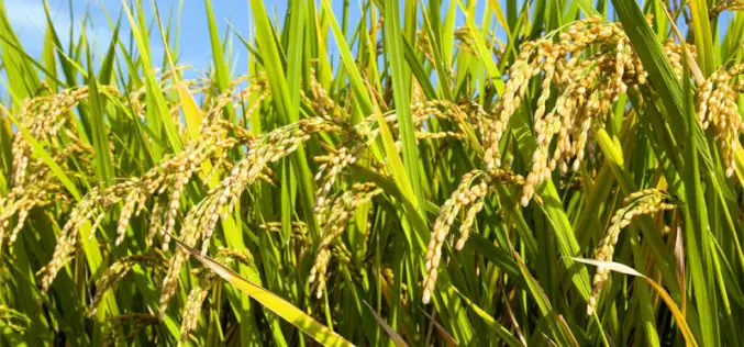
Hyperspectral Remote Sensing Imaging of Rice to Detect Arsenic Contamination
Arsenic toxicity of humans due to consumption of arsenic-contaminated rice is an international health crisis. Arsenic is often supplied through water from shallow wells used for irrigation of rice. Reduced
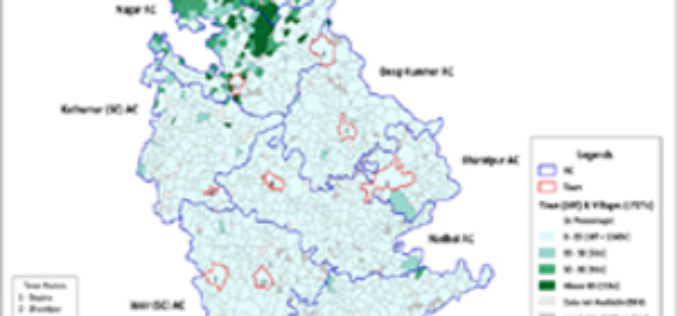
Datanet India launches Geospatial Election Analysis
Datanet India has revamped and re-launched its web portal www.electionsinindia.com in a small ceremony. This web portal now offers free access to summary results of all the parliamentary and assembly
Become An Expert In ENVI – Malaysia
In this course, you will learn much about the core functionality of ENVI and also be given an introduction to hyperspectral data analysis that is used as an stepping stone
