
Archive
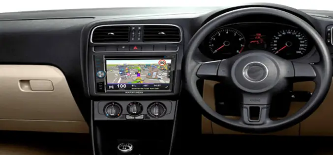
South Korea to Have More Accurate GPS Navigation System
Soon the people in South Korea have more accurate GPS navigation systems in their car or vehicles. South Korea has developed a technology to allow the use of an advanced

How GIS Revolutionizing Defense Strategy and Intelligence Operations
Most national security decisions involve geography. Whether assessing potential terrorist targets, planning where to strike on the battlefield, or deciding where to locate a new building with minimal environmental impact,

New Remote-Sensing Development Could Aid Disaster Relief
When earthquakes hit, emergency responders need to know quickly where to send their resources. A Michigan Technological University researcher and his graduate students believe they can help. Thomas Oommen, assistant
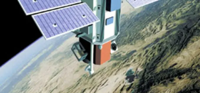
Egypt to Set Up National Agency for Space
Egypt is planning to set up a national agency for space, said Head of the National Agency for Remote Sensing Medhat Mokhtar on Thursday 05/09/2013. In statements to MENA, Mokhtar
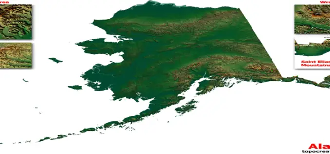
USGS Releases More Than 400 Updated US Topo Maps of Alaska
More than 400 new topographic maps are now available for the state of Alaska. The new maps are part of the U.S. Geological Survey Alaska Mapping Initiative, to update foundational data

An Eye in the Sky to Catch Fish
An eye in the sky is all set to make waves in the fishing industry. A project that uses data from a remote-sensing satellite to identify potential fishing zones (PFZS)
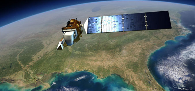
New Landsat Data Just a Few Clicks Away From ESA
Thousands of never-before-seen data products from the US Landsat satellites acquired over 30 years have been released for online access. In addition, the newest data over Europe from the latest

World-Class Digital Photogrammetric Workstation
DAT/EM Systems International is an Alaska-based company that has been developing photogrammetric software since 1987. As a leading developer of photogrammetric hardware and software products and services, DAT/EM specializes in

Making GPS Must in Every Public Vehicle
New Delhi, India: In a move expected to improve the monitoring of public vehicles in the city, the Transport department is going to table a proposal in the Cabinet which

GPS: Solar Flares and Jamming
BBC Radio 4 describes how easy it is to jam GPS and that even solar flares can affect the navigation system. Among those interviewed in the show is Professor Catherine Mitchell of
