
Archive

BMC Plans to do Utility Mapping to Curb Road Digging
In recent news, the Brihanmumbai Municipal Corporation (BMC) is planning to use Geographical Information System (GIS) for maaping public utilities such as sewer and water lines. The use of GIS will

Utah Firm Provides Geospatial Technology to Map Ebola Victims, Outbreaks, and Clinic Locations in Liberia
Addressing Homes LLC is Bringing the Right Technology at the Right Time to Support West African Countries and the World Health Organization (WHO) SALT LAKE CITY, Aug. 11, 2014 – A U.S.

Chinese Democracy Supported by Geospatial Technologies
Since the 1997 Handover from United Kingdom to China, Hong Kong 1 July March has been the largest civil movement in HK. As the activity became more like a protest,
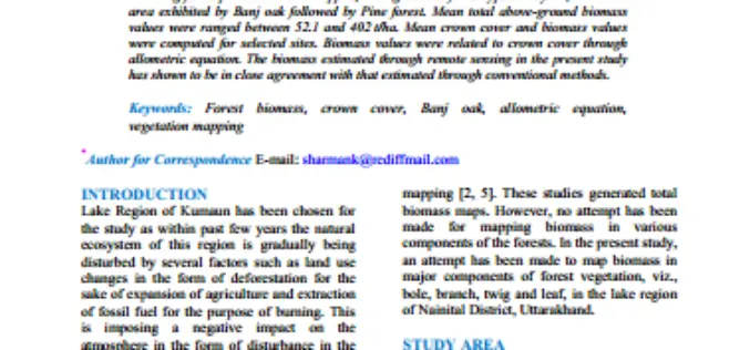
Geospatial Analysis of Biomass in Lake Region of Kumaun Himalaya, Uttarakhand
Abstract The present study includes vegetation and forest biomass mapping in the lake region of Kumaun, Uttarakhand, using IRS1C LISSIII satellite data. A total of 11 forest types including forest

Stunning Images of UAE by DubaiSat-1
According to recent news, DubaiSat-1 (Launched in 2009) has captured all pictures of the Emirates Atlas and still operating efficiently and has now been in space service for five years.

PCI Geomatics Releases Linux Versions of Geomatica 2014
RICHMOND HILL, Ontario, Canada—August 7, 2014: PCI Geomatics, a world leading developer of geo-imaging software and systems, today announces the release of three Linux versions of Geomatica 2014, the latest

China Successfully Launches Remote Sensing Satellite
BEIJING: China today successfully launched a remote-sensing satellite to carry out scientific experiments and provide early alerts about natural disasters. The Yaogan XX satellite blasted off at 1:45 pm local time on the back of a Long

RFP: Preparation of GIS Base Map and Conducting Multi Purpose Household Surveys with Technical Handholding Support in 67Cities
Directorate, Urban Administration & Development Government of Madhya Pradesh (GoMP) Request for Proposals for Short listing of Agencies for GIS-based Property Tax Reform which includes Preparation of GIS Base Map

OGC Publishes Tested 10 Open Mobility Location Standards Engineering Reports
19 public Engineering Reports resulted from the Open Geospatial Consortium’s (OGC®) OGC Testbed 10, the most recent in the OGC’s yearly series of major geospatial interoperability testbeds. Six of these reports

Google Polluted Internet With Classified Material: Survey of India
NEW DELHI: After registering a Preliminary Enquiry against Google for alleged mapping of classified areas, the CBI has sought help of the Survey of India (SoI) which has alleged that
