
Archive
PhD in Mobile Imaging Sensors Using Airborne Imagery at ITC
The University of Twente, we stand for life sciences and technology. High tech and human touch. Education and research that matter. New technology which drives change, innovation and progress in

HERE Launches Predictive Traffic
Charlotte, N.C. – HERE, a leader in navigation, mapping and location experiences, today launched Predictive Traffic, a new traffic forecasting product that can anticipate future traffic conditions in real-time. HERE

LizardTech to Demonstrate a UAV Workflow at the Esri Southwest User Conference
SEATTLE, Wash. – LizardTech®, a provider of software solutions for managing and distributing geospatial content, will give a UAV oriented presentation at the Esri Southwest User Conference in Sante Fe,

TerraGo Unveils Groundbreaking OpenGeoPDF Technology
OpenGeoPDF is a collection of technologies that combine open spatial database features and application logic within portable, intelligent maps. TerraGo, a leading global provider of location intelligence solutions, is pleased
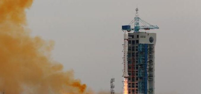
China Launches Yaogan-24 Earth Observation Satellite
In recent news, China has successfully launched the Yaogan-24 remote sensing satellite into a scheduled orbit at 3:12 p.m. on Thursday (Nov.20,2014) from the Jiuquan satellite launch center. The remote sensing
Topographical Survey and Geotechnical Investigation
EIL Inviting E-bids for Topographical Survey and Geotechnical Investigation Tender/Enquiry No :- KNM/A678-000-CB-TN-7201/1000 M/s Container Corporation of India Limited proposes different civil works at ICD Bhusawal, Maharashtra, India and have awarded

Free Digital Mapping Service for Colleges by Ordnance Survey
Today Ordnance Survey and Jisc – the charity that offers digital services and solutions to UK education and research – are set to release Digimap for Colleges. The secure, free and easy to use
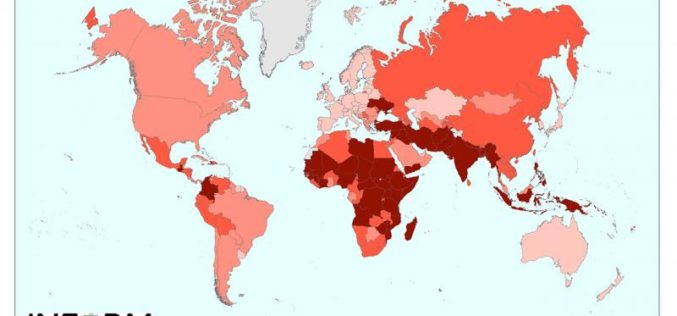
New Tool for Understanding the Risk of Humanitarian Crises and Disasters
The first global open-source risk assessment tool for humanitarian crises and disasters was launched today.INFORM (Index for Risk Management) is designed to support decisions about prevention, preparedness and response, helping humanitarian
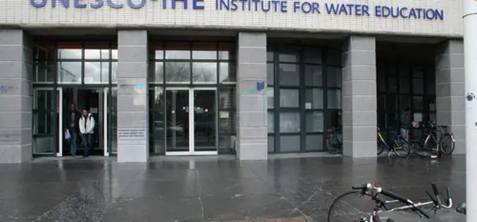
UNESCO-IHE is Offering Open Courseware on Preprocessing GIS Data for Hydrological Models
UNESCO-IHE is committed to solving the world’s water crisis by educating the water leaders of the future, particularly those from developing countries and countries in transition. The demand for water
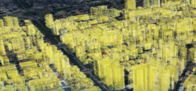
SuperGIS Webinar: Monitor Environment Changes with 3D GIS Tech
Supergeo is going to hold a webinar to show how 3D GIS can be applied to rapid changes of natural and urban environments with SuperGIS 3D Earth Server 3.2, the
