
Archive
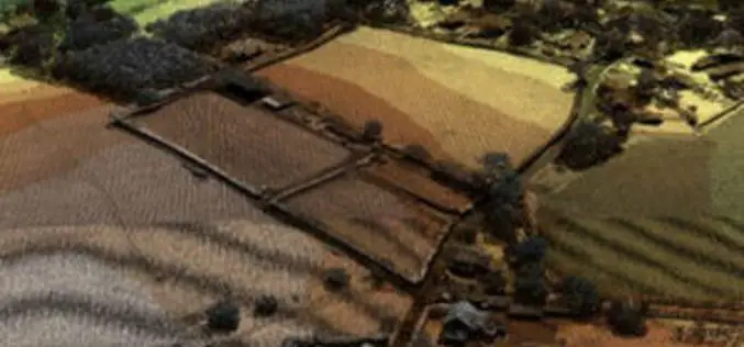
Wine Industry Adopted UK Open LiDAR Data to Boost High Quality Grapes
The UK Environment Agency open LiDAR data is to be used by wine industry to identify suitable land for vineyards. The Environment Agency now has an extensive archive of aerial LIDAR data covering
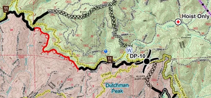
United States Forest Service Deploys the Avenza PDF Maps App for Fire-Fighting
PDF Maps app to aid firefighting and emergency response efforts The United States Forest Service (USFS) fights wildfires and other natural disasters in more than 155 national forests and 20

India Proposes Use of Geospatial Technologies to Strengthening Mutual Cooperation between BRICS Nations
The Minister for Science, Technology and Earth Sciences, Dr. Harsh Vardhan is leading an Indian delegation to the 3rd BRICS Ministerial Meeting on Science, Technology and Innovation (STI) being held
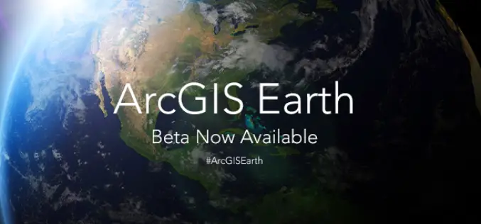
ArcGIS Earth Beta Now Available
Sign up for the beta program for ArcGIS Earth beta to download, Esri’s new 3D app. By participating in the program, you will be among the first to test-drive a prerelease
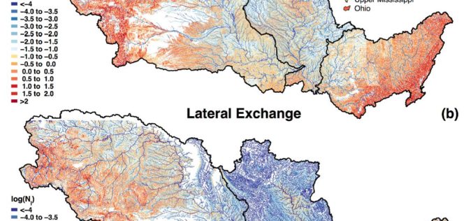
Uncovering the Mighty Mississippi’s Natural Potential for Nitrogen Removal
Working throughout the Mississippi River basin, USGS scientists and collaborators from the University of Texas at Austin have established the river’s own potential to decrease its load of nitrate and
Russia Plans to Create Renewed Earth Remote Sensing System
According to recent news in TASS, Russia is planning to create a renewed system of Earth’s remote sensing. Russian Deputy Prime Minister Dmitry Rogozin said, “we plan to create a renewed system
PrecisionHawk, Verizon, Harris and DigitalGlobe Jointly Demonstrate Technology for Safe Drone Operations
Industry leaders in cellular, aircraft surveillance, satellite imagery and drones bring together the best technology solutions to enhance safety as airspace congestion increases. PrecisionHawk, Verizon (NYSE, Nasdaq: VZ), Harris (NYSE:HRS)
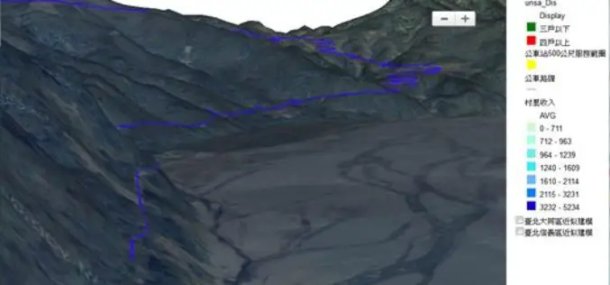
Underground Utilities and Traffic Applications in 3D
SuperGIS 3D Earth Server is now focusing on the development of underground utilities and traffic applications. The product not only provides the ability to visualize and manage underground utilities in
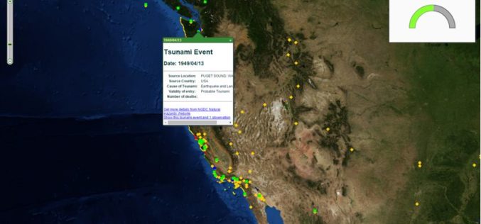
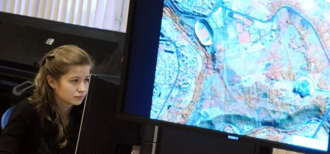
The Regeneration of Open Data through SuperGIS Server
Integrating different sources of open data often generates great value and new information. For example, by integrating earthquake and tsunami locations with a coastal city vulnerability index, you will be
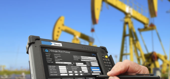
Trimble Introduces Oil and Gas Services Suite to Provide Tracking, Analytics, Navigation and Security Solutions
SUNNYVALE, Calif., Oct. 26, 2015—Trimble (NASDAQ: TRMB) introduced today a services suite for managing the transportation of fleets and equipment servicing well sites in the oil and gas industry. From
