
Archive

PrecisionHawk and Harris Corporation Expand Strategic Partnership to Introduce Airspace Safety Technologies to the Drone Market
The companies are merging Harris’ expertise in air traffic communication and surveillance and PrecisionHawk’s work on low-altitude, safety services for drones to provide a holistic unmanned aircraft, safety, technology service

Cardno Files U.S. Patent Application for UAS Remote Sensing Process
New patent application filing for Unmanned Aerial Systems UAS remote sensing technology workflow to support abandoned uranium assessment and cleanup. Cardno announced the filing with the U.S. Patent & Trademark Office
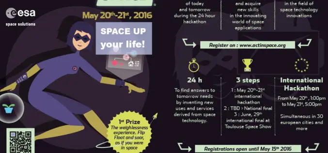
ActInSpace: The Space Technology Challenge
Airbus Defence and Space is partnering with the French and European space agencies (CNES and ESA*) to organise ActInSpace. ActInSpace is a 24-hour contest where anyone can join a team

India: “The Geospatial Information Regulation Bill, 2016”
The Ministry of Home Affairs, Government of India has requested for comments/suggestions on draft “The Geospatial Information Regulation Bill, 2016”. “To regulate the acquisition, dissemination, publication and distribution of geospatial information
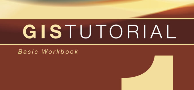
New Esri Workbook Teaches Basic Mapmaking and Spatial Analysis Techniques
Redlands, California—The new edition of GIS Tutorial 1: Basic Workbook, published by Esri, teaches the fundamentals of using geographic information system (GIS) technology, including making maps, geocoding data, and analyzing
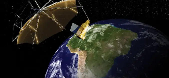
Airbus Defence and Space to Build Biomass – the European Space Agency’s Forest Mission
1st P-band radar in space will measure the amount of biomass and carbon locked in the world’s forests and how this changes over time Biomass satellite will provide support to
NMDC Inks MoU with ISRO for Mineral Mapping
In a bid to make use of satellite-based geological mapping capability for mineral exploration, National Mineral Development Corporation (NMDC) has signed a memorandum of understanding (MoU) with Indian Space Research

A New Mobile Phone App for Grassroots Mapping
University of Exeter academics have created an app which could help aid humanitarian rescue work in disaster-struck regions by using geographic data to map landscapes. The android mobile phone application
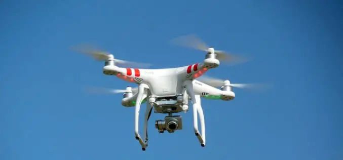
No Proposal with DGCA for Allowing Commercial Use of Drones
There is no proposal at present with aviation regulatorDGCA for allowing commercial use of drones in the country, government said today. The Directorate General of Civil Aviation has recently put
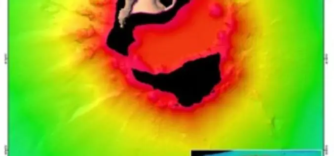
Scientists Explore Earth’s Newest Land Using Advanced, High-Resolution 3D Mapping
SUVA, FIJI – Research vessel (R/V) Falkor will return to port today after 28 days at sea conducting pioneering studies including mapping the Earth’s newest island landscape in the Kingdom
