
Archive
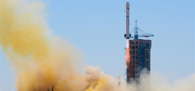
China Launches Yaogan-30 Remote Sensing Satellite
According to recent news by Xinhua, China has successfully launched Yaogan-30 remote sensing satellite into space. The spacecraft lifted off at 10:43 a.m. local time Sunday, May 15 (10:43 p.m. EDT

Air Pollution Levels Rising in Many of the World’s Poorest Cities
GENEVA – More than 80% of people living in urban areas that monitor air pollution are exposed to air quality levels that exceed WHO limits. While all regions of the

SuperGIS Webinar: Planning and Managing Tourism in a Spatial Way
Planning and Managing Tourism in a Spatial Way Wednesday, 1st June | 09:00 AM (GMT+2) Your local time “Adventure is worthwhile in itself.” Indeed, tourism is one of the fastest growing industries
Esri Webinar: Effective Vector-Borne Disease Surveillance and Control
Esri Webinar: Effective Vector-Borne Disease Surveillance and Control Thu, May 26, 2016 11:30 PM – Fri, May 27, 2016 12:30 AM IST Show in My Time Zone Understanding the complete
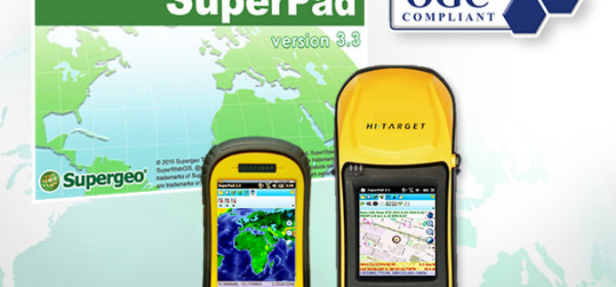
The Whole New Update of Leading Mobile GIS—SuperPad 3.3
It is our great pleasure to announce a new version of SuperPad had just been released. After hundred hours of hard work, some advanced development was accomplished, and now it
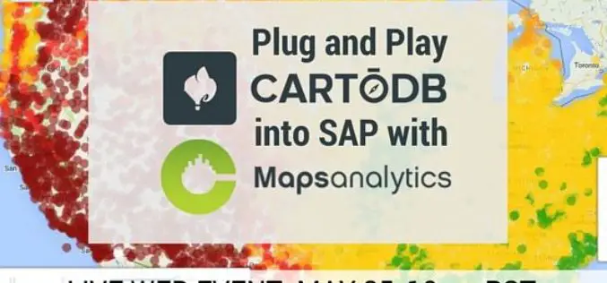
Webinar: Plug and Play CartoDB into SAP with CMaps Analytics
CMaps Analytics is thrilled to team up with CartoDB for an upcoming web event showcasing our latest integrated solution for embedding Location Intelligence into your SAP investments. Thursday, May 25 at 1PM CMaps Analytics is a
Esri Unveils Advanced Analytics at GEOINT
Demonstrations, Live Training, and Hackathon Winners Show the Power of GIS Redlands, California—Esri, the world leader in geographic information system (GIS) solutions, announced that it will be exhibiting and providing

FAA Expands Drone Detection Pathfinder Initiative
The Federal Aviation Administration (FAA) is expanding the part of its Pathfinder Program that focuses on detecting and identifying unmanned aircraft systems (UAS) flying too close to airports. Today the

Research and Markets – Satellite-based Earth Observation Market in Europe 2016-2020
About Satellite-based Earth Observation Market in Europe Satellites transmit data and information in the form of images, which are then collected for analysis. The information thus gathered can be used
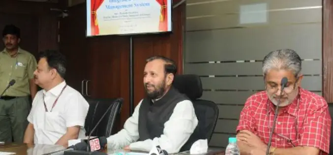
eGovWatch: Government Launches App to Monitor Solid Waste Management
New Delhi, May 9 – In a step towards simplifying waste management, the environment ministry launched a web-based application — Integrated Waste Management System (IWMS) — here on Monday to
