
Archive

How a Yellowscan LiDAR Solution Contributed To Archeological Prospecting and Exceptional Heritage Management
The team used the YellowScan Explorer, our first LiDAR solution that can be mounted on a light manned aircraft or helicopter as well as mounted on any professional UAV platform.
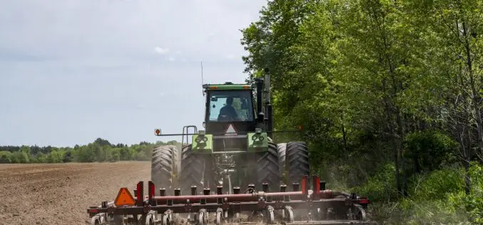
GNSS: The Foundation of Precision Applications in Ag
You may be thinking – so how do GNSS and corrections relay into the rest of precision agriculture? Without precise positioning, there really is no precision agriculture.

ISRO PSLV-C54/EOS-06 Mission is Accomplished
On November 26, 2022, ISRO completed the mission by successfully launching Eight Nano-satellites and the EOS-06 satellite by PSLV-C54. The mission’s primary goals are to maintain the operational applications by ensuring the data continuity of ocean colour and wind vector data. Additional datasets like Sea Surface
FABDEM: The New Standard of Digital Elevation Models
To level up the playing field for DEM users, in 2022 flood modeling experts Fathom built and released FABDEM (Forests And Buildings removed Copernicus DEM) in a collaboration with the University of Bristol
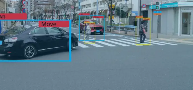
How To Choose The Right Image Annotation Tool
Image annotation has become a crucial aspect of machine learning as the world advances into the age of artificial intelligence. A simple definition of image annotation in machine learning is

The Ultimate Guide To Shipping Large Items From State To State
Moving to a new state, selling off old items, or starting an e-commerce company can all come with specific shipping needs. This can become a challenge when you need to

5 Surefire Ways to Increase Your Social Media Audience
Social media advertising is one of the most important pillars of digital marketing and has affected how business enterprises interact with customers. It simply refers to the use of social
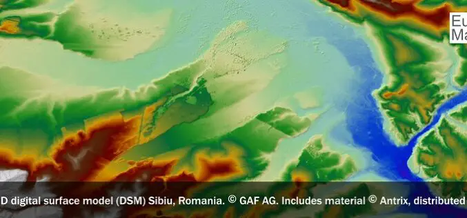
ESA and GAF AG Continue Offering Free-of-Charge Access to DSMs, High-Resolution and Medium-Resolution Data via the Third Party Mission Scheme
ESA and GAF AG will continue to provide free-of-charge access to Digital Surface Models (DSMs), high-resolution (HR) and medium-resolution (MR) data for scientific users. In September 2022 they extended their
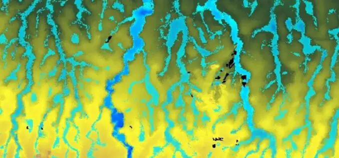
Climate Change Monitoring: Cube4EnvSec Growing
Nato has launched a new multiyear Science for Peace and Security Programme project named Cube4EnvSec which aims at exploiting Big Earth Datacube Analytics for transnational security and environment protection. Its

Unconscious Bias Training: The Diversity Training A Workplace Should Have
Human resource professionals are often left wondering, “What were they thinking?” The scientific community is of the view that they probably weren’t, at least not consciously. The acts of workers
