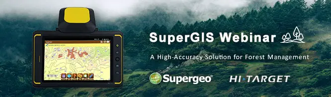
SuperGIS Webinar: A High-Accuracy Solution for Forest Management
Wednesday, 17th August
10:00 AM (GMT+2) Your local time
Geospatial technology is changing how everything works, including industries with a long history such as farming and forestry. As wildfires, pests, and illegal logging still threaten forests, forest rangers really need a geospatial solution to protect these valuable woods more effectively. By using the solution offered by Supergeo
Attend this webinar and learn:
- The important duties and missions of a forest ranger.
- How to integrate GIS & GPS for precise forest management.
- How to conduct this solution in a real patrolling.
- Recording and reporting the position of illegal logging.
- Analyzing and predicting illegal logging with GIS
Who should attend?
Foresters, forest rangers, forest managers, officials of forestry administration, land surveyors, GIS analysts, or anyone who is interested in using high-accuracy geospatial solutions.
Speaker
- Chris Chen
Sr. Technical Support
Supergeo Technologies Inc. - Stefan Wei
GIS & GNSS Product Manager
Hi-Target Surveying Instrument Co. Ltd
Register Now
Categories:
Webinars