
Tag "Geospatial Technology"
Advancing AI-Driven Energy Equity with Geospatial Technology
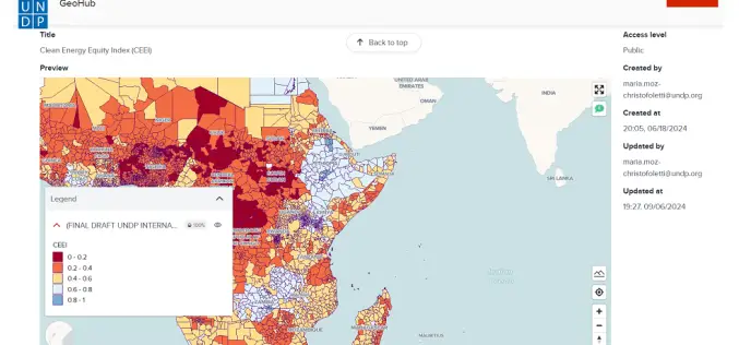
The United Nations Development Programme (UNDP) and IBM have launched two advanced models that combine AI and geospatial technology to promote clean energy access and equity. These tools, hosted on

Call for Proposals for Geospatial Technology and Solutions: Impact and Importance for India’s Future
The National Geospatial Programme (NGP) division, formerly NRDMS, calls for proposals in Geospatial Technology and Solutions that have the potential to impact various sectors in India significantly. The National Geospatial

Geospatial Technology in Forensic investigation
Surveying provided the basis for man to know ‘what is where’ and ‘when’. The technology, if we can call it a technology during the early 19th century, was

Unmanned Aerial Vehicles (UAVs) Have Arrived as A Reliable Geospatial Technology
The large scale adoption of Unmanned Aerial Vehicles in the last decade for Geospatial Data capture has brought about a radical change in the accuracy, speed and timeliness
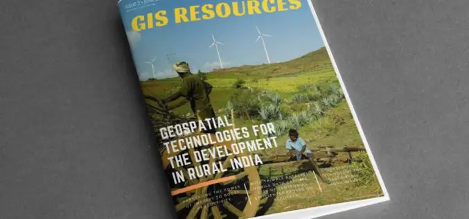
GIS Resources Magazine (Issue 2 | June 2018): Geospatial Technologies for The Development in Rural India
GIS Resources Magazine (Issue 2 | June 2018): Geospatial Technologies for The Development in Rural India June 18, 2018 – GIS Resources, a leading global platform for latest and high-quality information source of the
ISRO to Set up Geospatial Outreach Research Facility in Hyderabad
The Indian Space Research Organisation (ISRO) will set up an outreach facility in Hyderabad, Telangana and it is a matter of pride for the state to be given this research centre.
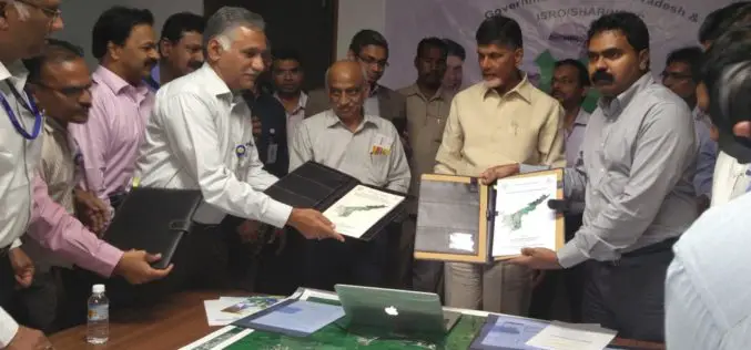
ISRO signs Three MoUs with Government of Andhra Pradesh for use of Geospatial Technology
India – The Government of Andhra Pradesh (Govt. of AP) signed Memorandum of Understanding (MoUs) with ISRO for the deployment of space technology in governance and development of the State. Following

Timmons Group Webinar | Squashing Zika with GIS!
Squashing Zika with GIS! Thursday, January 26th | 2 – 3 pm EST Timmons Group is a leading provider of geospatial information architecture and engineering services throughout the United States and
Maharashtra Adopted Geospatial Technology to Digitize and Decentralise MGNREGA Works
According to recent news by the DNA, the Maharashtra State Government gearing up to implement the geographic information system (GIS) to digitize and decentralize the planning, monitoring, and implementation of the
Geospatial Technology to Achieve 11th Malaysia Plan
Geospatial technology will play a crucial role in helping agencies achieve the goals set out in the 11th Malaysia Plan (RMK11), according to a panel of Malaysia’s most influential industry
