

Posts From GIS Resources

FOSS4G-Europe Conference – Submissions Deadline Extended!
The second edition of the FOSS4G-Europe Conference will be held at Politecnico di Milano in Como, Italy, from July 15th to 17th, 2015. A day of workshops will precede the

RIEGL LIDAR 2015 – New Sponsors and First Speaker Announcements!
RIEGL LIDAR 2015 May 5-8, 2015 in Hong Kong and Guangzhou (Canton), China Presentation slots and seats for RIEGL LIDAR 2015 are filling up fast! New sponsors and exhibitors have
Airborne LiDAR Datasets Covering Two Volcanic Fields and a River Confluence
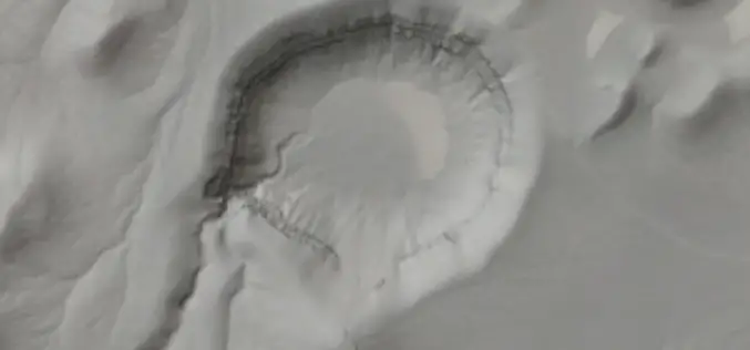
OpenTopography is pleased to announce the release of three new LiDAR datasets covering two volcanic fields in Northern Arizona and Nevada as well as a river confluence in Colorado. The

Independent Report Highlights Esri as Leader in Global GIS Market
Esri and Partners Lead GIS Deployment in More than 10 Industries, Including 28 Percent Share of Electric Transmission and Distribution Market Redlands, California—ARC Advisory Group reports that Esri has a

New ASPRS Positional Accuracy Standards for Digital Geospatial Data Released
The American Society for Photogrammetry and Remote Sensing (ASPRS) is pleased to announce the release of the new Positional Accuracy Standards for Digital Geospatial Data. The new standards are available

GAGAN to Save Lives at Unmanned Railway Crossings
The Indian Railways is in talks with the Indian space agency on the possibility of using GPS-aided geo-augmented navigation (GAGAN) for safety at unmanned railway crossings, said a top ISRO official. The

Introducing the New DAT/EM Toolbar for Global Mapper
Introducing the New DAT/EM Toolbar for Global Mapper March 5, 2015 at 2:00 pm (EST) The new Global Mapper Extension from DAT/EM Systems International connects Global Mapper from Blue Marble
Free and Open Access to Sentinel-1 and Sentinel-3 Data Would Contribute To the Indonesian Blue Revolution
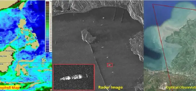
The Indonesian archipelago is one of the most important reservoirs of marine biodiversity on the planet, which makes a substantial contribution to the local fishing, aquaculture and tourism industries. Illegal

PCI Geomatics Implements Support for KazEOSat-1
MARKHAM, Ontario, Canada—February 25, 2015: PCI Geomatics, a world leading developer of remote sensing and photogrammetric software and systems, announced today that it has implemented support for KazEOSat-1, an Earth
Full Waveform LiDAR Sample Data Now Available For Free
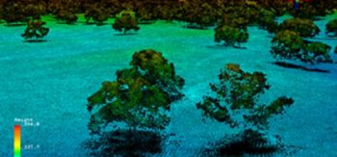
In a recent announcement by NEON, NEON Airborne Observation Platform (AOP) sample data is now available on the Airborne Data page. The NEON Airborne Observation Platform (AOP) is an aircraft
