

Posts From GIS Resources

PhD in GIS and Remote Sensing at Motilal Nehru National Institute of Technology
Motilal Nehru National Institute of Technology Allahabad [MNNIT Allahabad], an Institution of National Importance declared by the Act of Parliament and a premier technical institution of the Country, offers several
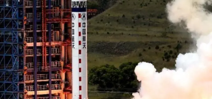
China Launches New Remote Sensing Satellite
In recent news,China has successfully launched a Yaogan-23 remote sensing satellite into scheduled orbit that will help in scientific experiments, natural resource surveys, crop yield estimates and disaster relief measures. The
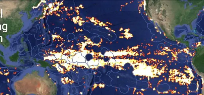
Global Fishing Watch Using Mapping Technology
Global Fishing Watch is the product of a technology partnership between SkyTruth, Oceana, and Google. Global Fishing Watch is a technology platform that uses satellite data to inform the public
OpenLayers 3-Cesium Open Source Release
A joint effort between Camptocamp, Boundlessgeo and Klokantech, allowed to start and release the first version of an Open Source community library with the goal to synchronize an OpenLayers 3
Maharashtra to Launch Rs. 4,000-Cr Satellite Mapping Project
India, the Maharashtra Government will soon launch a Rs. 4,000-crore satellite imaging project to map all land in the State and prepare digital records of land holdings. “We have decided to undertake
Webinar: SAR Tools and Capabilities in Geomatica 2014
On-demand Webinar – SAR Tools and Capabilities in Geomatica 2014 In this one-hour webinar, PCI experts will demonstrate data processing techniques in Focus including ingesting, calibrating and displaying SAR data.

Land Applications of Radar Remote Sensing
The aim of this book is to demonstrate the use of SAR data in three application domains, i.e. land cover (Part II), topography (Part III), and land motion (Part IV).
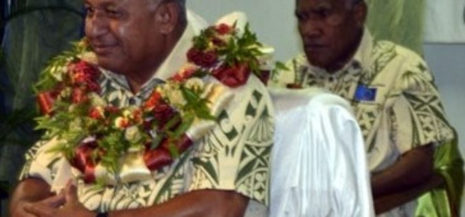
Fiji Adopted GIS Technology to Boost Sugar Industry
In recent news, the Fiji’s Prime Minister Voreqe Bainimarama has launched GIS portal at the Sugar Cane Growers Building in Lautoka which will now see the digitisation of the sugar

InSAR/Seismological Investigation Studentship Programme
In 2012, the Natural Environment Research Council announced that it wished to concentrate research student training in larger cohorts, and invited bids for Doctoral Training Partnerships to provide this training.
Young GIS Practitioners Encouraged to Apply to URISA Vanguard Cabinet
URISA is pleased to announce the availability of the 2015 Vanguard Cabinet application. The Vanguard Cabinet (VC) is a URISA initiative which debuted in 2011 to engage young GIS practitioners
