
Posts From GIS Resources
Basic Surveying -Theory and Practice
Basic Surveying -Theory and Practice Ninth Annual Seminar Oregon Department of Transportation Geometronics Unit Bend, Oregon This handbook on Basic Surveying -Theory and Practice gives a detailed explanation on Surveying techniques

Real-Time Kinematic Surveying Training Guide
Real-Time Kinematic Surveying -Training Guide by Trimble Navigation Limited The overall goal of this course is for you to learn how to use the Trimble® Real-Time Kinematic Surveying (RTK) system so that

Mapping Outbreak of Ebola: A Deadly Virus
The outbreak of Ebola in Western Africa has stuck fear in the heart of everyone about the visitors to the region or visitors from the region. The disease has a
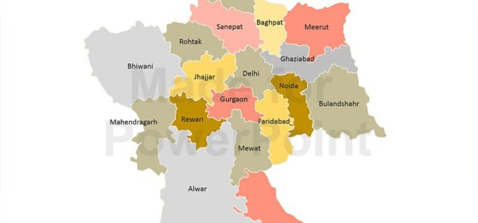
Decline in Natural Conservation Zones in NCR: Govternment
New Delhi: Natural conservation zones (NCZs) like forests, water bodies and waste lands have declined in the National Capital Region, Lok Sabha was informed on Wednesday. As per the analysis

UN Committee of Experts on Global Geospatial Information Management
The Committee of Experts on Global Geospatial Information Management calls for the adoption of common standards so that geospatial data can be seamlessly shared and used around the world The

BMC Plans to do Utility Mapping to Curb Road Digging
In recent news, the Brihanmumbai Municipal Corporation (BMC) is planning to use Geographical Information System (GIS) for maaping public utilities such as sewer and water lines. The use of GIS will

Utah Firm Provides Geospatial Technology to Map Ebola Victims, Outbreaks, and Clinic Locations in Liberia
Addressing Homes LLC is Bringing the Right Technology at the Right Time to Support West African Countries and the World Health Organization (WHO) SALT LAKE CITY, Aug. 11, 2014 – A U.S.

Chinese Democracy Supported by Geospatial Technologies
Since the 1997 Handover from United Kingdom to China, Hong Kong 1 July March has been the largest civil movement in HK. As the activity became more like a protest,
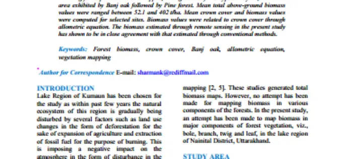
Geospatial Analysis of Biomass in Lake Region of Kumaun Himalaya, Uttarakhand
Abstract The present study includes vegetation and forest biomass mapping in the lake region of Kumaun, Uttarakhand, using IRS1C LISSIII satellite data. A total of 11 forest types including forest

Stunning Images of UAE by DubaiSat-1
According to recent news, DubaiSat-1 (Launched in 2009) has captured all pictures of the Emirates Atlas and still operating efficiently and has now been in space service for five years.
