

Posts From GIS Resources

Massive Solar Flare can Damage GPS, Communication Signals on Earth
New York: The most powerful solar flare ever is beginning to rotate to a position directly in line with Earth that, if it hits the ground, can send GPS and
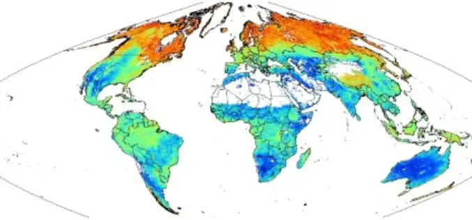
SoilGrids1km — Global Soil Information Based on Automated Mapping
SoilGrids1km — Global Soil Information Based on Automated Mapping By- Tomislav Hengl, Jorge Mendes de Jesus, Robert A. MacMillan, Niels H. Batjes, Gerard B. M. Heuvelink, Eloi Ribeiro, Alessandro Samuel-Rosa, Bas

First images taken with Exelis system on DigitalGlobe’s WorldView-3 satellite released
Exelis-built integrated super-spectral imaging system consists of a telescope, sensor and shortwave infrared system ROCHESTER, N.Y., Aug. 26, 2014 – DigitalGlobe has released the first images taken with the Exelis-built (NYSE: XLS) integrated,
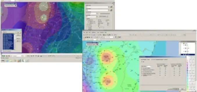
SuperGIS Desktop Assists SME in USA in Conducting Restoration Projects
Supergeo Technologies, the global leading GIS software and solution provider, announces that SuperGIS Desktop 3.2 supports Bitterroot Technical Associates, USA, to guide restoration programs for environmental management. SuperGIS Desktop 3.2
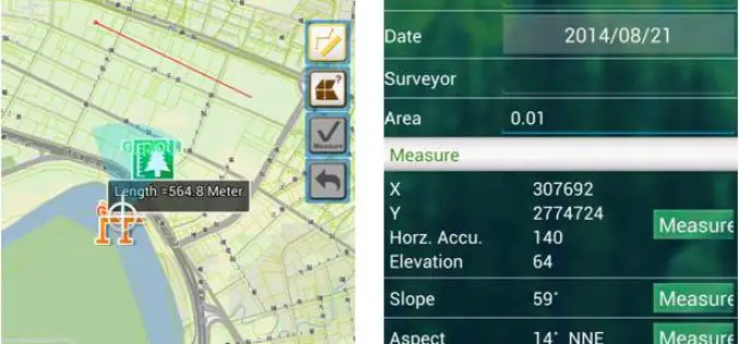
Supergeo to Release Forest Inventory App for Android Users
Forest Inventory App, an Android app designed for forest information collection, developed by Supergeo, will be released to provide forest investigators with a professional and handy tool for field survey

University of Oslo: PhD Research Fellow in Remote Sensing and Photogrammetry
The University of Oslo is Norway’s largest institution of research and education with 28 000 students and 7000 employees. Its broad range of academic disciplines and internationally esteemed research communities


RFP For IT Solution Provider For Implementations of NLRMP
Revenue Department, UT of Daman & Diu Daman and Diu (UT), India Revenue department, UT od Dman and Diu invites RFP’s from IT solutions provider for implementation of NLRMP Tender
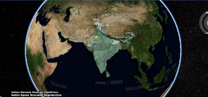
NRSC has Launched Plug-in Independent Bhuvan 3D
Bhuvan: A Gateway to Indian Earth Observation,is a web based software enabled application to explore earth in 2D and 3D. Bhuvan was developed by National Remote Sensing Centre (NRSC), Hyderabad, India. Bhuvan is

OGC announces new Urban Planning Domain Working Group
20 August 2014. An OGC Urban Planning Domain Working Group (SWG) has been chartered to define the role for OGC standards and related activities within the Urban Planning discipline and
