
Posts From GIS Resources
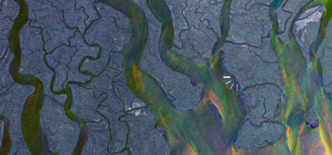
Where Is It?
This video features some spectacular imagery from Earth-observing satellites. From this perspective, even some of the most familiar places can be difficult to recognise. Can you place these images on
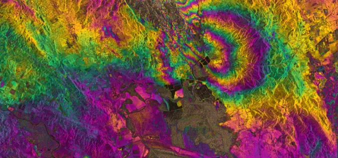
RADAR Vision Maps Napa Valley Earthquakes
Sentinel-1A has added yet another string to its bow. Radar images from this fledgling satellite have been used to map the rupture caused by the biggest earthquake that has shaken
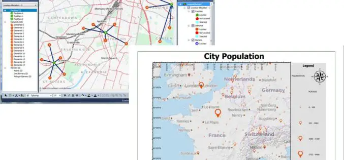
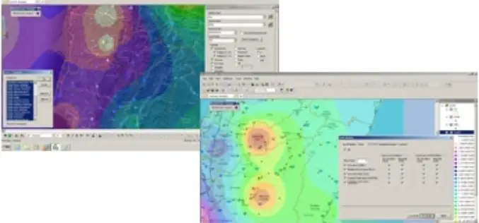
Latest SuperGIS Desktop 3.2 Enhances Map Display Performance and Analysis Functions
Developed by Supergeo, the latest Desktop GIS, SuperGIS Desktop 3.2 now provides users with a more powerful and comprehensive platform to display and edit GIS data by improving stability, accelerating

SuperGIS Assists South Africa in Economy Planning and Development
Supergeo Technologies, the global leading GIS software and solution provider, announces that Mangaung Metro Municipality (MMM), South Africa, utilizes SuperGIS Desktop and SuperSurv to evolve the city economic development. The

Gogoi Calls for Proper Mapping of Human Trafficking Areas
Assam Chief Minister Tarun Gogoi on Monday called for proper mapping of areas from where incidents of trafficking of children and women are reported. Gogoi, who chaired a review meeting
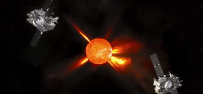
Massive Solar Flare can Damage GPS, Communication Signals on Earth
New York: The most powerful solar flare ever is beginning to rotate to a position directly in line with Earth that, if it hits the ground, can send GPS and
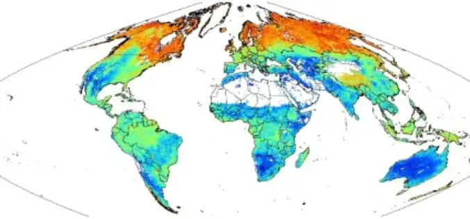
SoilGrids1km — Global Soil Information Based on Automated Mapping
SoilGrids1km — Global Soil Information Based on Automated Mapping By- Tomislav Hengl, Jorge Mendes de Jesus, Robert A. MacMillan, Niels H. Batjes, Gerard B. M. Heuvelink, Eloi Ribeiro, Alessandro Samuel-Rosa, Bas

First images taken with Exelis system on DigitalGlobe’s WorldView-3 satellite released
Exelis-built integrated super-spectral imaging system consists of a telescope, sensor and shortwave infrared system ROCHESTER, N.Y., Aug. 26, 2014 – DigitalGlobe has released the first images taken with the Exelis-built (NYSE: XLS) integrated,
SuperGIS Desktop Assists SME in USA in Conducting Restoration Projects
Supergeo Technologies, the global leading GIS software and solution provider, announces that SuperGIS Desktop 3.2 supports Bitterroot Technical Associates, USA, to guide restoration programs for environmental management. SuperGIS Desktop 3.2
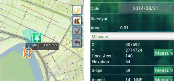
Supergeo to Release Forest Inventory App for Android Users
Forest Inventory App, an Android app designed for forest information collection, developed by Supergeo, will be released to provide forest investigators with a professional and handy tool for field survey
