

Posts From GIS Resources
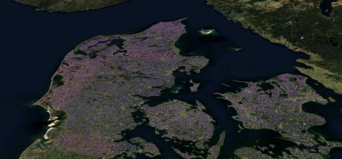
Machine Learning Helps SEGES to Detect 26K Slurry Tanks over Denmark to Assess Ammonia Emission
The article talks about How SEGES detected 26000 slurry tanks over Denmark in a few hours using Picterra to assess ammonia emission.

GIS Resources Magazine (Issue 2 | June 2020): Geospatial Technologies in Forensic Investigations
GIS Resources is pleased to announce the release of its 2nd edition (June 2020) of the print and digital magazine. The edition titled “Geospatial Technologies in Forensic Investigations” focuses on the

Get More from Imagery Using 30 New Features Released to Geomatica Banff
PCI Geomatics has announced the release of over 30 new features and enhancements to photogrammetry and remote sensing solution, Geomatica Banff.

Join MAXAR to Learn How Satellite Data is used by Organizations in Responding to Business Disruption and Emerging from Lockdown
Join MAXAR to Learn How Satellite Data is used by Organizations in Responding to Business Disruption and Emerging from Lockdown

University of Maine at Machias to offer new Degree in Environmental Geographic Information Science
Machias, Maine — Beginning in fall 2020, the University of Maine at Machias will be the only public university in Maine to offer a four-year degree program in geographic information
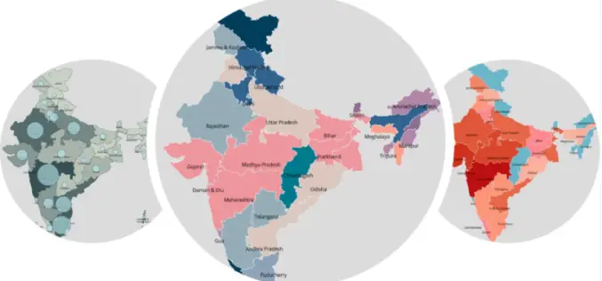
Geospatial Technology to Map Spread of COVID-19 and to Minimize Its Impact on Business
Aimed at helping Corporates and Government take statistically driven and swifter business decisions, Transerve Online Stack is providing relevant datasets generated by Interactive maps. 21st May 2020, New Delhi/Goa, India:
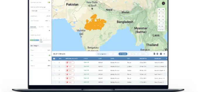
India Geospatial Stack to Enable Scientific Mapping of Resources
Contributed by – From the 14% at the time of independence to almost 32% according to the 2011 Census, urban settlements in India have witnessed a rapid population growth –
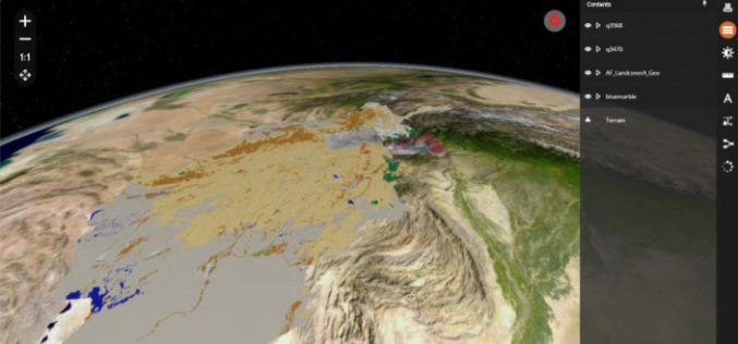
Hexagon Geospatial Releases M.App X 2020 Update 1 – Cloud-based Enterprise Solution for Imagery Intelligence
Hexagon Geospatial has recently released M.App X 2020 Update 1 with great new features. The major version of M.App X 2020 was released late in January 2020. M.App X is a
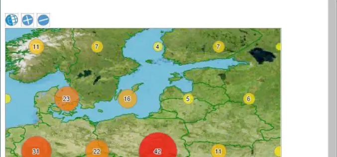
TatukGIS Announces Kernal 11 of its GIS Developer Kernel (DK) for ASP.NET Web Forms
TatukGIS is a leading geospatial technology company that makes an advanced level, general-purpose GIS mapping software development kits used by companies in a wide range of industries to develop custom

Webinar: How to Detect Buildings with State-of-the-art Technology of Picterra
Building detection is a very common application of Picterra. The most popular use cases include counting different types of buildings, differentiating them from ongoing constructions, and finding various patterns.
