Geospatial Technology to Map Spread of COVID-19 and to Minimize Its Impact on Business
Aimed at helping Corporates and Government take statistically driven and swifter business decisions, Transerve Online Stack is providing relevant datasets generated by Interactive maps.
21st May 2020, New Delhi/Goa, India: The spread of COVID-19 and impended lockdown has impacted the SMBs and large corporations alike. A downward trend is on the showcase across sectors be it manufacturing, retail, e-commerce and Travel & Tourism ever since. With businesses trying to get their operations back on track, technology-backed solutions can be of great help. ‘Transerve Technologies’ through its offering ‘Transerve Online Stack (TOS)’ has come up with a solution to map COVID-19 density zones using geospatial technology. This advanced solution works on Predictive Analysis and uses layers of geospatial data to track,
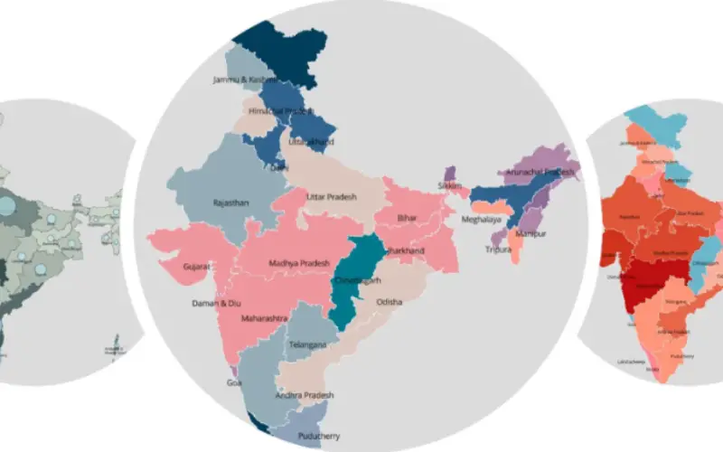
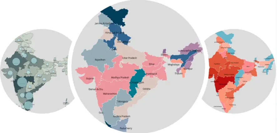
Large and medium-sized retailers who are now eagerly waiting to re-open their stores are heavily dependent on geo-spatial datasets on deciding which outlets to open and which ones to not open. Similarly, big-ticket manufacturing companies are using geospatial data to analyze their suppliers’ catchment areas and effectively plan their sourcing strategies. Supply chain professionals across organizations and logistic companies are planning to extensively use geospatial data for the route optimization of their vehicles by avoiding the red zones. Moreover, analyzing data of existing health infrastructure and census data sets and mapping it to those infected can help policymakers and concerned authorities in identifying COVID-19 containment zones. Similarly, such analysis can also estimate the load on each corona testing centre and help health officials to set up more labs or increase or decrease the capacity of existing ones depending on population density and distance to the testing laboratory. With so many practical applications TOS is emerging to be a very effective tool for governments and corporates. TOS has been maintaining a Corona timeline and created interactive digital maps of all the districts in India, and colour coded them to map all the Covid19 related information.
Commenting on how ‘Transerve Online Stack’ works, Mr. Amarsh Chaturvedi, Co-Founder, Transerve and IIT-Kanpur alumnus said, “Keeping a tap on COVID-19 contaminated zone is the need of the hour. Our Government is playing best on their part to keep the citizens safe from infection. It is very important for new-age entities like ours to support the Government and corporations by making the utmost use of our technology in order to deal with this global crisis. Transerve’s technologically advanced API based spatial platform serves as a single point database to access all the information related to COVID-19 contaminated zones.
Mr. Ashwani Rawat, Co-Founder, Transerve and IIT-Kanpur alumnus said“With our platform, we aim at providing a helping hand to government authorities and corporates, so that the society can reap benefits on a larger scale. We are also publishing map visualizations on COVID-19 related data released by Government sources from time-to-time in order to help the public in understanding the infection and its containment. The Maps published will be freely available for use by any organization globally.”
Transerve platform allows users to perform analysis on the web on real-time through an intuitive process and save the results for later use. The platform provides the functionality to collect data using mobile devices, manage, analyze, and publish the geospatial data on the web in real-time.
The TOS platform is available at https://online.transerve.com.
***
About Transerve Technologies – Transerve Technologies Pvt Ltdis a technology leader in the field of location-intelligence for effective decision making. Having been acknowledged as a top emerging and innovative company by NASSCOM and Deloitte, its spatial platform Transerve Online Stack is now being leveraged for large scale social impact by various government departments. Transerve was seed-funded by CIIE-IIM Ahmedabad in its nascent stage; currently, it has Omidyar Network and Tara India Fund as its marquee social impact early-stage investors. For more information, visit https://www.transerve.com