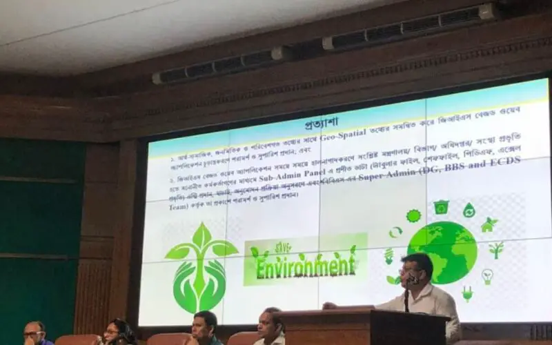
Bangladesh Bureau of Statistics Launch GIS App to Generate Environment, Climate Change Data
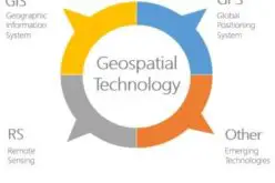
That’s great news! Geographic Information System (GIS) technology can be a powerful tool for generating and visualizing data related to the environment and climate change. By using GIS, data from various sources such as satellite imagery, climate models, and ground-based sensors can be combined to create detailed maps and other visualizations that help decision-makers understand the impacts of climate change on the environment and communities.
The launch of the GIS app by the Bangladesh Bureau of Statistics (BBS) is a positive step towards leveraging technology to address climate change and environmental issues. The app can help policymakers and researchers make informed decisions by providing them with accurate and up-to-date information on the state of the environment and the impacts of climate change in Bangladesh.
This will also empower government officials, academia, researchers and potential knowledge clients to securely host, manage, share, visualize, and analyse geospatial data.
The app will encourage other countries and organizations to invest in GIS technology to generate more data on the environment and climate change and to use that data to inform policies and actions that can mitigate the impacts of climate change and protect our planet for future generations.
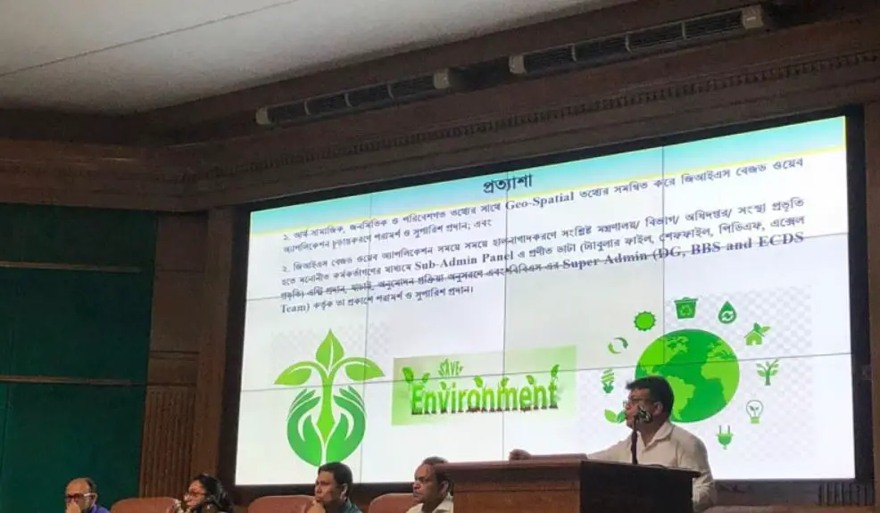
The BBS has taken the initiative under its “Strengthening Environment, Climate Change, and Disaster Statistics” project.
There are several benefits of using a GIS app to generate environmental and climate change data. Some of these benefits include:
- Enhanced data visualization: GIS technology can help visualize data in a way that makes it easier to understand and interpret. By using maps, charts, and graphs, users can identify patterns, trends, and anomalies that might be difficult to detect using traditional data analysis methods.
- Improved decision-making: The GIS app can provide policymakers, researchers, and other stakeholders with accurate and up-to-date information on the state of the environment and the impacts of climate change. This information can help them make informed decisions about how to address environmental and climate-related challenges.
- Better planning and management: The GIS app can be used to plan and manage natural resources such as water, forests, and wildlife habitats. By mapping out these resources, policymakers can make better decisions about how to allocate resources and prioritize conservation efforts.
- Enhanced collaboration: The GIS app can facilitate collaboration between different stakeholders, including scientists, policymakers, and local communities. By sharing data and information, stakeholders can work together to develop effective solutions to environmental and climate-related challenges.
- Increased awareness and public engagement: The GIS app can be used to raise awareness about environmental and climate-related issues and engage the public in the decision-making process. By providing accessible and understandable information, the app can help people understand the impacts of climate change and encourage them to take action to reduce their carbon footprint.
Overall, the GIS app can play a crucial role in generating and analyzing environment and climate change data, and in promoting sustainable development and environmental stewardship.
Source: The Daily Star