
GIS

Government of India Issues Draft Norms For Using Drones
New Delhi, Nov 1 (PTI) – After long drawn discussions, the civil aviation ministry today unveiled draft norms for operating drones for civilian purposes in the country. The Unmanned Aerial

Fund of Rs 14,124 crore for 8 Smart Cities in Northeast
According to recent news reported by The Indian Express, the Central Government of India has approved funds to the of Rs 14,124 crore for 464 projects in eight cities in
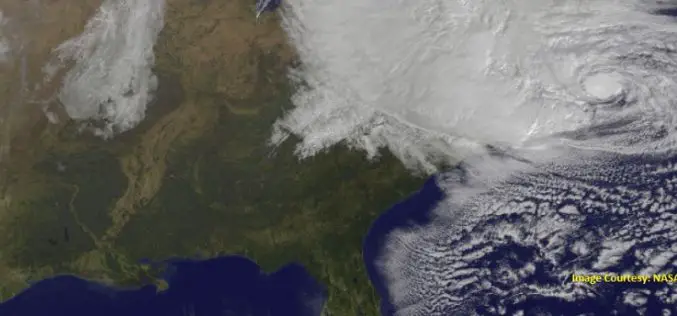
Storm Water Modeling and Flood Disaster Management Using Open Source Software
Contributed by: Geospatial data serves as an input in hydraulic simulation software and thereby the simulated results can further be transferred back to GIS system for real-world graphical representation of
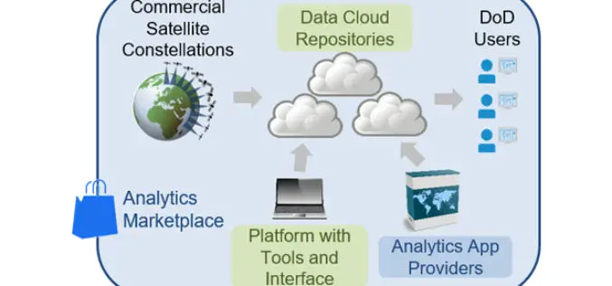
DARPA Seeks to Harness Commercially Available Geospatial Imagery for Defense Analysis
According to recent news published on DARPA.mil, DARPA’s new Geospatial Cloud Analytics (GCA) program seeks to enable instant access to the most up-to-date images anywhere in the world, as well as

3D Modeling to Plan Development Projects in Jaipur City
Jaipur, India – According to recent news reported by the TOI, the Department of Information Technology and Communications (DIoTC) of Jaipur, has undertaken an ambitious ‘3D City Model’ project. The

Remote Sensing Technology to Protect Frankincense Trees
According to recent news by Muscatdaily.com, the Remote Sensing and GIS Research Center (RSGISC) at the Sultan Qaboos University, Muscat, is assessing the use of remote sensing and GIS technology in
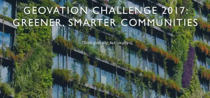
Geovation Challenge: Turn Your Great Idea into a Great Business
If you’re a UK start-up and want to help solve pressing issues using location information; the Challenge could be perfect for you. You might be an innovator with a passion for

National Highways Authority of India Launches GIS Enabled Website and Mobile App to Monitor Highways
New Delhi – According to recent news by the ToI, the National Highways Authority of India (NHAI) launches a mobile application that will allow passengers to rate the national highways across the

Geospatial Technology to Support National Mission for Clean Ganga
September 29, 2017 – New Delhi – (IANS) – Union minister of state for Water Resources, River Development and Ganga Rejuvenation Satyapal Singh on Thursday asked the officials of National Mission

Reliance Energy Launches App for Complaints on Defective Street Lights
September 28, 2017, Mumbai – (IANS) – In an effort to make Mumbai streets safer after dark, Reliance Energy has launched a new app-based service for lodging complaints on defective street lights,
