
GIS

SRA Mumbai to Use Drone to Map Slums
According to recent news reported by the Times of India – the Slum Rehabilitation Authority (SRA) will use a high-end drone for accurate mapping of slums across the metropolis. SRA chief executive officer Deepak Kapoor confirmed to

India: Government Added Nine New Names in Smart Cities
January 19, 2018 – New Delhi – Urban Development Minister Hardeep Singh Puri has announced the name of nine more smart cities, taking the total to 99. The mission of hundred

UNSW Will Produce 3D Digital Maps of Sydney’s Buildings And Infrastructure
Leading geospatial scientist Sisi Zlatanova is joining UNSW to head a research centre that will produce 3D digital maps of Sydney’s buildings and infrastructure. According to recent news published by University of New

RGi Partners With USGIF to Offer $10,000 Needs-based Scholarship
January 10, 2018 – Reinventing Geospatial®, Inc. (RGi®) has partnered with The United States Geospatial Intelligence Foundation (USGIF) to offer a new award as part of its 2018 USGIF Scholarship Program.
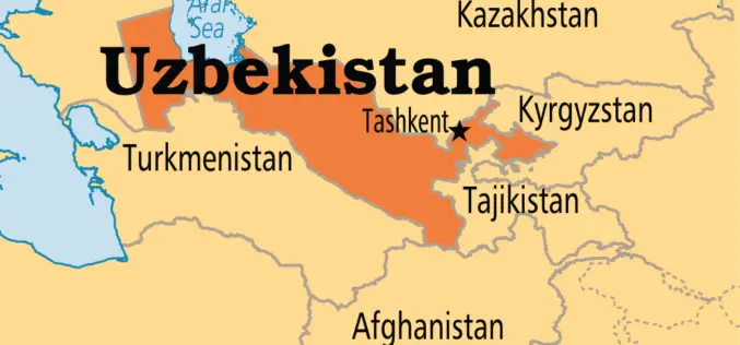
Uzbekistan Will Apply International Geodetic Coordinate Systems on Its Territory
According to the recent press release by the State Committee of the Republic of Uzbekistan for Land Resources, Geodesy, Cartography and State Cadastre, there is no open coordinate system in Uzbekistan,
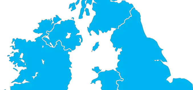
The Environment Agency to Map England’s Entire Landscape with 3D Laser Mapping
The Environment Agency has announced plans to map England’s entire landscape by 2020, using the data to assess flood risk and inform conservation work. December 30, 2017 – Environment Agency – The Environment Agency
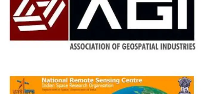
AGI & NRSC Sign MoU for Promoting National Development Through the Adoption of Geospatial Technologies
Hyderabad, India, December 21, 2017: Association of Geospatial Industries (AGI), a not-for-profit industry association representing the geospatial industry of India signed a Memorandum of Understanding (MoU) with the National Remote

Microsoft India Using Artificial Intelligence to Help Indian Farmers
New Delhi: New technologies such as Artificial Intelligence (AI), Cloud Machine Learning, Satellite Imagery and advanced analytics are empowering small-holder farmers in India to increase their income through higher crop
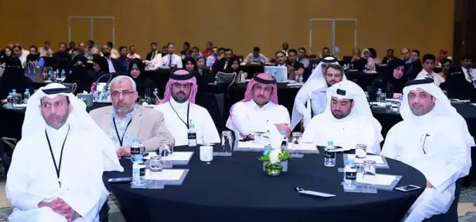
Qatar to Develop 4D Mapping Technology to Boost Urban Planning and Other Applications
According to recent news by The Peninsula, the Center for Geographic Information Systems(CGIS) under the Ministry of Municipality and Environment is working on a cutting-edge technology to develop 4D mapping features
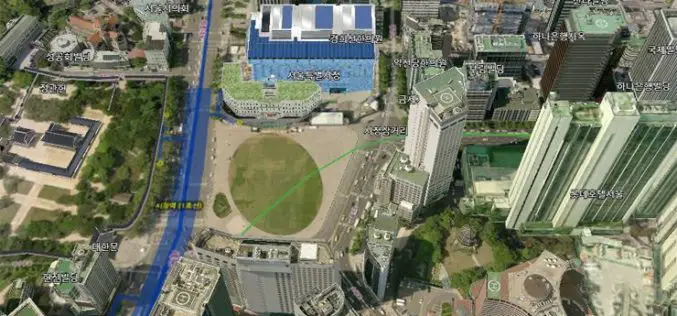
Seoul to Get New 3D Map
According to recent news by The Korea Times, the Seoul Metropolitan Government will launch a 3D mapping project for 11 of the city’s hotspots, including City Hall, Lotte World Mall and
