
GIS

Cyient to Host Hackadrone 2018–India’s First UAV Hackathon
Participation open to developers, start-ups, college students, and independent software programmers from across the country Hyderabad, India, Dec. 6, 2017/PRNewswire/ — Cyient, a global provider of engineering, manufacturing, geospatial, network, and
Geological Survey of India to Complete Landslide Susceptibility Mapping in 2018
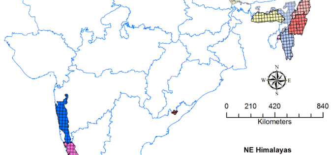
Kolkata, December 6, 2017 (IANS) : The Geological Survey of India (GSI) is set to complete generation of Landslide Susceptibility Maps – covering an area of 1.71 lakh sq km

OGC Calls for Sponsors for Augmented Reality Pilot Project
Joint OGC and W3C Pilot project will propose standards to unite Augmented Reality, Web, and Geospatial technologies November 29, 2017 – The Open Geospatial Consortium (OGC), and the World Wide Web

Top 5 GIS Trends for 2018
Contributed By: You’re reading this because seamlessly integrating Geographical Information Systems (GIS) into your company’s IT infrastructure including SAP is crucial. Challenges you’re grappling with probably include absorbing tech upgrades

City of Peterborough: New Little Lake Cemetery Launches Web Mapping Application
November 27, 2017, Peterborough, ON, Canada (Media Release) – The City of Peterborough Geomatics/Mapping division and the Heritage Preservation Office are pleased to announce the launch of a new Interactive Web Mapping

UK Announces New Geospatial Commission
Chancellor announces new Geospatial Commission to maximise the value of all UK government data linked to location. UK – November 22, 2017 – The Chancellor has announced today a new Geospatial

Bulgaria and Macedonia Agreed to Exchange Cartographic and Geodetic Data
According to recent news reported by novini.com, the Republic of Bulgaria and Republic of Macedonia have agreed to exchange geodetic, cartographic, and cadastral data. The Memorandum of Cooperation (MoC) was signed on November 23, 2017, for

Global Analysis and GIS Forecast in the Telecommunications Market in 2017-2023
Report “GIS in the telecommunications market by type (software and services), deployment models (cloud and local) and the end user (small and medium business and large enterprises); Global Opportunity Analysis

UAV can be Effectively Used in Disaster Management: NDMA
New Delhi, Nov 7, 2017 (PTI) – Unmanned aerial vehicles (UAVs) can be effectively used in disaster management, the National Disaster Management Authority (NDMA) today said. “UAVs can provide high-resolution,

Disaster Management Authorities to Get a New Tool to Handle Tsunamis
According to recent news by the First Post, Disaster management authorities are all set to get a new tool to handle tsunamis. They will be able to know how far the
