
GIS
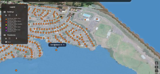
Rezatec Launches Advanced Geospatial AI for Dam Monitoring
Rezatec has launched a groundbreaking solution for dam operators with its enhanced geospatial AI platform for dam monitoring. This cutting-edge platform is set to transform how dam safety and risk
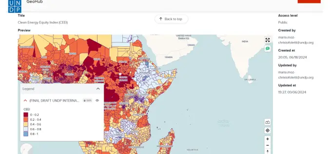
Advancing AI-Driven Energy Equity with Geospatial Technology
The United Nations Development Programme (UNDP) and IBM have launched two advanced models that combine AI and geospatial technology to promote clean energy access and equity. These tools, hosted on
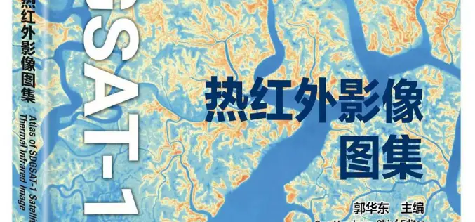
China Unveiled World’s First Thermal Infrared Atlas
China has made a groundbreaking contribution to global sustainability efforts by releasing the world’s first Thermal Infrared Atlas. The atlas was launched during the 4th International Forum on Big Data

AI Mosquito Mapping in Fighting Mosquito-Borne Diseases
A team of researchers at Heidelberg University has introduced a pioneering AI mosquito mapping technique to track Aedes aegypti populations, the species responsible for spreading diseases like dengue, Zika, chikungunya,
TorchGeo 0.6.0: Advancing Geospatial Machine Learning
TorchGeo 0.6 marks a significant step forward in geospatial machine learning by offering new datasets, data modules, and pre-trained models for satellite image analysis. Over 11 months, 23 contributors worked
GeoDiscovery Offers Self-Serve Access to Geospatial Data from AGSL and UWM
The University of Wisconsin-Milwaukee (UWM) has recently unveiled GeoDiscovery, an innovative geoportal developed in collaboration between the American Geographical Society Library (AGSL) and the Digital Collections & Initiatives (DC&I) department.

How Digital Twin for Housing is Transforming Home Selection in Abu Dhabi
The Abu Dhabi Housing Authority (ADHA) is pioneering a significant technological leap with the adoption of digital twin technology for housing. This innovative approach focuses on creating a highly interactive

Abu Dhabi’s Al Ain Geo Platform Revolutionizes Urban Planning with AI
The Al Ain City Municipality, under the Abu Dhabi Department of Municipalities and Transport (DMT), has launched the Al Ain Geo Platform, a cutting-edge tool designed to revolutionize urban planning
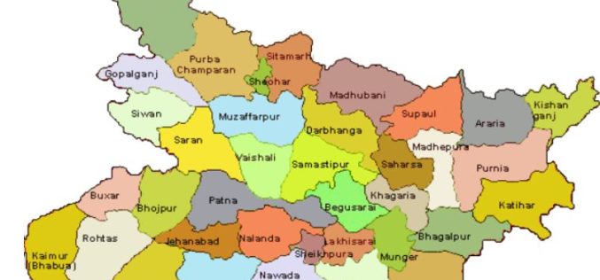
Boosting Revenue with GIS-based Cess Collection in Bihar
The Bihar government is implementing a GIS-based cess collection system to cover all construction activities, whether government, commercial, or private, across the state. This innovative approach, led by the state’s

Oman Begins Comprehensive Flood Risk Mapping to Enhance Safety
Oman is initiating a major project focused on Flood Risk Mapping across the country. The Ministry of Agriculture, Fisheries, and Water Resources has engaged a specialized company to lead this
