
GIS

SuperGIS Helps National Research Council of Italy to Analyze Earth System
Supergeo Technologies, the global leading GIS software and solution provider, announced that Institute of Geosciences and Earth Resources, National Research Council of Italy (CNR) utilizes SuperSurv and SuperGIS Desktop to

iLOOKABOUT Corp. Announces Conversion of Unpaid Dividends to Common Shares
LONDON, ON–(Marketwired – January 02, 2015) – iLOOKABOUT Corp. (TSX VENTURE: ILA) (“iLOOKABOUT” or “the Company”) announced today that, subject to the approval of the TSX Venture Exchange, the Company

Washington Suburban Sanitary Commission Enhances Customer Service with Esri Enterprise System
Redlands, California—Nearly two million people stand to benefit from significant technological improvements made by Washington Suburban Sanitary Commission (WSSC), one of the largest water and wastewater utilities in the country.
SuperGIS 3D Earth Server Updates with Stronger Functionality
Supergeo Technologies, the global leading GIS software and solution provider, releases the latest SuperGIS 3D Earth Server 3.2 with diverse enhancements and structure modifications to elevate user experience of 3D
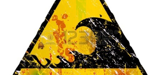
3D Mapping of Coastal Areas as a part of Tsunami Warning System
India is taking up 3D mapping of coastal areas as part of its efforts to further improve the tsunami early warning system. On the 10th anniversary of the
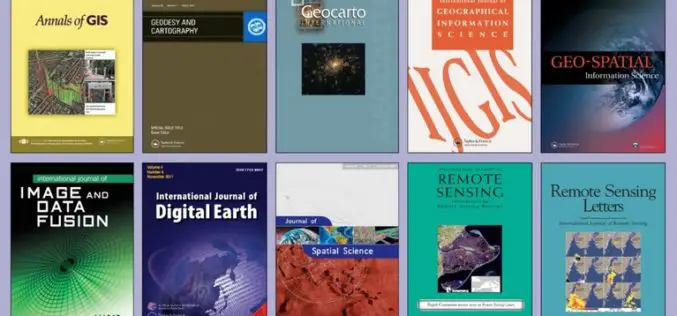
FREE Access to the Leading GIS & Remote Sensing Journals
Taylor & Francis Group partners with researchers, scholarly societies, universities and libraries worldwide to bring knowledge to life. As one of the world’s leading publishers of scholarly journals,
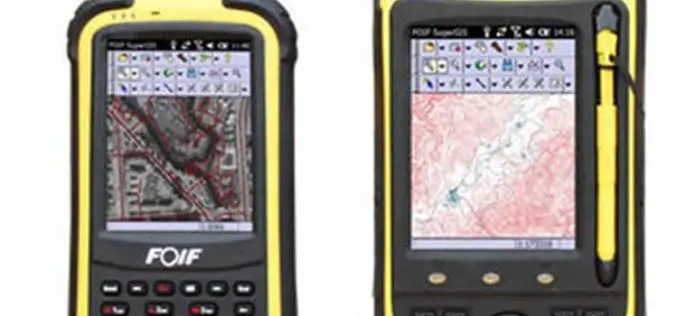
High Accuracy GIS Total Solution by FOIF SuperGIS
Supergeo Technologies, the global leading GIS software and solution provider, announced the cooperation with Suzhou FOIF Co. (FOIF) in providing worldwide surveyors with high accuracy GIS turnkey solution. Mobile GIS

Scientists Call for Pro-active Role to Protect Coral Reefs
Scientists have stressed on a pro-active role by concerned agencies for conserving coral reefs that are currently facing wrath of human and environmental interventions. “Destructive exploitation methods while

OGC seeks public comment on KML 2.3 standard
19 December 2014 – The membership of the Open Geospatial Consortium (OGC®) seeks public comment on the candidate OGC KML 2.3 Standard. KML is an XML grammar used to encode

Why the Urban Redevelopment Authority of Singapore Using 3D Mapping
According to recent news by www.futuregov.asia, The Urban Redevelopment Authority is now using 3D mapping to get a more realistic view of the city and simulate future scenarios, so agencies can
