
GIS
Statistics Map APIs Service Platform
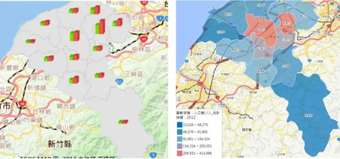
Displaying statistical data on map extends GIS applications to more domains, as it is much easier and more informative for researchers to comprehend meanings of the data through its intuitive

Google to Put-down Google Earth API
Oops ! Developers making 3D mapping applications now have to look for another APIs source as as Google is withdrawing support for Google Earth API. Google has introduced Google Earth
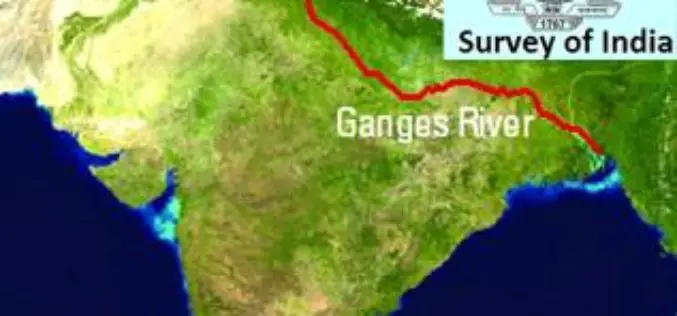
Survey of India to Soon Map Ganga River
Dec. 16, 2014, India – The Survey of India would soon begin work to map and survey Ganga river at an estimated cost of Rs 542 crore that will determine

Geospatial Technology to Bring More Tourists to Queensland
GIS People has once again taken out the competition in Queensland Government’s Open Innovation Challenge, and this time won the opportunity to develop an intelligent data management solution for the
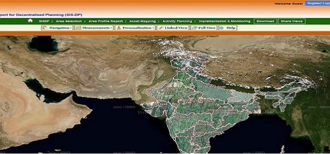
ISRO Empowering Panchayati Raj Institutions using Bhuvan Panchayats
Bhuvan Panchayats Portal plays an important role to disseminate the deliverables of the project including High Resolution Satellite Imagery and Resource Maps at 1: 10,000 scale, to the three levels
Survey of India Files Complaint against Google
Survey of India on Saturday filed a complaint with the police against Google maps for alleged wrong depiction of India’s international boundaries. Dalanwala Police station in charge Anil Kumar Joshi

Dubai Gets Google 360° Street View
According to Khaleej Times, Dubai becomes first city in the Arab region to have Google 360° street view mapping service. The service provides 360 degree views and navigation of streets

The Most Detailed Ecological Land Units Map in the World
Esri and the USGS Collaborate on a Systematic Division and Classification of the Biosphere Redlands, California—Esri and the United States Geological Survey (USGS) are pleased to announce the development of
RIEGL adds RiCOPTER with VUX-SYS to Geo-matching.com
The RiCOPTER is a ready to fly remotely piloted airborne laser scanning system is a high-performance UAV which can be equipped with the RIEGL VUX-1 survey-grade LiDAR sensor to offer

Latest SuperGIS Desktop 3.2 Supports Lidar Data and New Analysis Functions
Supergeo Technologies, the leading global provider of complete GIS software and solutions, releases updated SuperGIS Desktop 3.2, which supports Lidar data and adds more analysis tools. SuperGIS Desktop 3.2 integrates
