

Business

SuperGIS Desktop 3.3 Updated with 3D Analyst and Better Maptile Productivity
SuperGIS Desktop 3.3 is now released for GIS users around the world. With the latest SuperGIS Desktop 3.3, Cache Generator is dramatically improved, supporting multiple machine workflows and providing a consummate
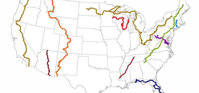
New Magnolia State Maps Adding Trails
Several of the 772 new US Topo quadrangles for Mississippi now display parts of the Natchez Trace National Scenic Trail and other selected public trails. Further significant additions to the

The 5 Most Viewed Terrestrial Laser Scanners on Geo-matching.com
The Geo-matching.com website features a selection of the most important geomatics equipment, including Terrestrial Laser Scanners. At www.geo-matching.com you can compare product specifications, read users’ review, brochures and case studies.

Hexagon Geospatial Visualizes Stories with the Hexagon Smart M.App
Hexagon Geospatial is pleased to introduce the Hexagon Smart M.App, providing a new way to understand and share your geospatial experience. These new light-weight applications cohesively combine data, workflows, and analytics.

OGC announces Common DataBase Best Practice
27 July 2015. The Open Geospatial Consortium (OGC®) membership announces OGC’s approval of the OGC Common DataBase specification as an OGC Best Practice. This OGC Best Practice specifies an open

Blue Marble Geographics Announces First Certified Trainer of Global Mapper
Blue Marble Geographics (bluemarblegeo.com) is pleased to announce that Engesat International S.A. of Brazil has successfully completed the training certification program. Together with his team, Laurent Martin, owner of Engesat
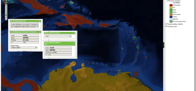
SuperGIS Server Extends Map Possibilities with Various Resources
This week, Supergeo releases the latest version of SuperGIS Server with plenty of new functions, including related tables, improved JavaScript print tool, and new JavaScript APIs supporting OGC layers. With

Mount McKinley Elevation Survey Results Coming Soon
Climbers return from the top of Mount McKinley to begin data analysis A team of four climbers has recently returned from the highest point in North America with new survey

On The Right Path with OS Maps
Ordnance Survey has produced a new off-road sat-nav style router in its OS Maps application that covers Britain’s 15 National Parks Using Ordnance Survey’s unrivalled outdoors mapping it allows users to plot

Supergeo Confirms Dealership with National Space Organization for FORMOSAT-2 Satellite Imagery
Supergeo Technologies, the leading GIS software and solution provider, announces an agreement with National Space Organization (NSPO), Taiwan to resell the satellite imagery of FORMOSAT-2. The 891 km-above-ground FORMOSAT-2 is
