SuperGIS Desktop 3.3 Updated with 3D Analyst and Better Maptile Productivity
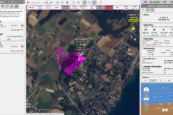
SuperGIS Desktop 3.3 is now released for GIS users around the world. With the latest SuperGIS Desktop 3.3, Cache Generator is dramatically improved, supporting multiple machine workflows and providing a consummate caching mechanism. In addition, diverse useful and flexible configurations are provided. For example, there are some settings like feature mask, spatial filter, and image format settings that help users easily reduce the map cache file size. Also, through the use of Supertile and buffer zone settings, users can now avoid duplicated and cut labels.Additionally, by using the feature spatial filter, Cache Generator can smartly generate the tiles as the user wants, and greatly reduce the process duration. For example, there might be a lot of unnecessary caching areas (e.g. sea areas) within the map cache extent. By using the feature spatial filter to specify the necessary caching areas, the process duration can be reduced remarkably.
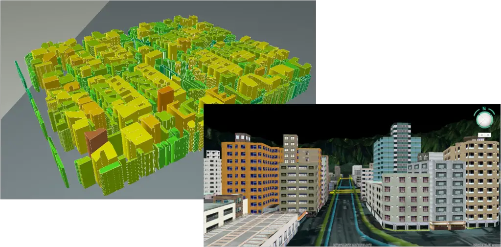
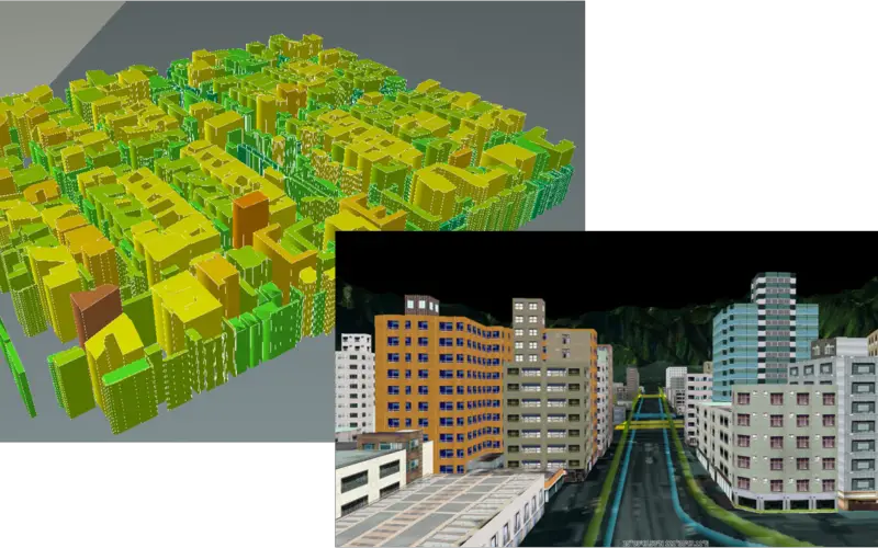
Apart from the improvements mentioned above, the SuperGIS 3D Analyst within SuperGIS Desktop is significantly enhanced as well, enabling users to display raster and feature data in 2D/3D formats together in a 3D environment,making results look more realistic. The enhanced SuperGIS 3D Analyst supports graphic engines like OpenGL and DirectX allowing users to display their data in a smoother way. The whole new 3D environment and intuitive user interface within SuperGIS Desktop 3.3 not only helps users get the hang of using GIS but also supports terrain models to display real surface relief so that the visualization results can be comprehended by map viewers with ease.
It is worth mentioning that SuperGIS Globe of 3D Analyst enables 3D GIS users to display data asa simulated world. SuperGIS Globe is capable of accessing diverse building model formats, including KML, KMZ, CityGML, LAS, etc., and of displaying 2D spatial data like SHP and GEO in 3D by working with terrain data. Last but definitely not least, a functional and interesting feature-recording 3D video as AVI files-is also provided for users to sharesplendid 3D environments with each other.
Included with the new release of SuperGIS Desktop 3.3 is a SuperGIS webinar which is going to be held at 2 P.M. on 28th July (India time). With the webinar, SuperGIS Desktop Extensions will be employed by the speaker to manage natural resources data, introduce how to arrange conservation zones throughKriging analyses,improve sustainable developmentwith Biodiversity indices and more. Supergeo welcomes all users who are interested in GIS issues to join the webinar.
Join the SuperGIS Webinar :
http://www.supergeotek.com/news.aspx?Type=Upcoming&ID=1560
Interested in SuperGIS Desktop? Visit Supergeo website and register for downloadingthe latest trial and receiving product news: http://www.supergeotek.com/index.aspx
Or contact us with e-mail: staff@supergeo.com.tw
# # #
About Supergeo
Supergeo Technologies Inc. is a leading global provider of GIS software and solutions. Since the establishment, Supergeo has been dedicated to providing state-of-the-art geospatial technologies and comprehensive services for customers around the world. It is our vision to help users utilize geospatial technologies to create a better world.
Supergeo software and applications have been spread over the world to be the backbone of the world’s mapping and spatial analysis. Supergeo is the professional GIS vendor, providing GIS-related users with complete GIS solutions for desktop, mobile, server, and Internet platforms.