

Business

OGC Calls for Public Review of Proposed Common Object Model Container Standards Working Group
March 09, 2017 – The Open Geospatial Consortium (OGC®) request comments on the draft charter for an OGC Common Object Model Container (COMC) Standards Working Group (SWG). The core philosophy behind the
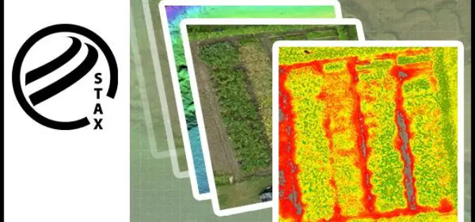
PCI Geomatics Releases STAX for UAV
MARKHAM, Ontario, Canada — March 07, 2017: PCI Geomatics, a world-leading developer of remote sensing and photogrammetric software and systems, announced today that it has released a new UAV image
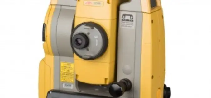
Topcon Announces New Wi-Fi Capability for Imaging Station
LIVERMORE, Calif., USA/ CAPELLE A/D IJSSEL, The Netherlands – March 7, 2017 – Topcon Positioning Group announces the addition of advanced connectivity options to its DS-200i direct aiming imaging station. The
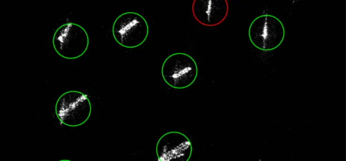
MDA to Provide RADARSAT-2 Information for Maritime Surveillance
Vancouver, BC – MacDonald, Dettwiler and Associates Ltd. (“MDA” or the “Company”) (TSX: MDA), a global communications and information company, today announced that it has signed three contracts with a
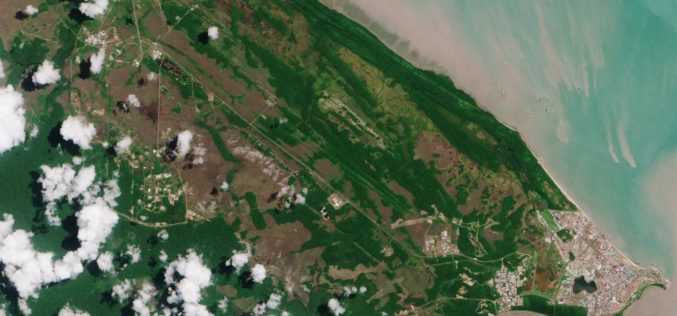
Earth Firmly in View – Sentinel-2B Satellite Successfully Launched
Another ‘guardian’ of the European Earth observation programme Copernicus is in orbit Together with its ‘twin satellite’ Sentinel-2A, the new environmental monitoring system Sentinel-2B doubles the recording frequency. Every point
Vricon Announces Reseller Agreement with Esri
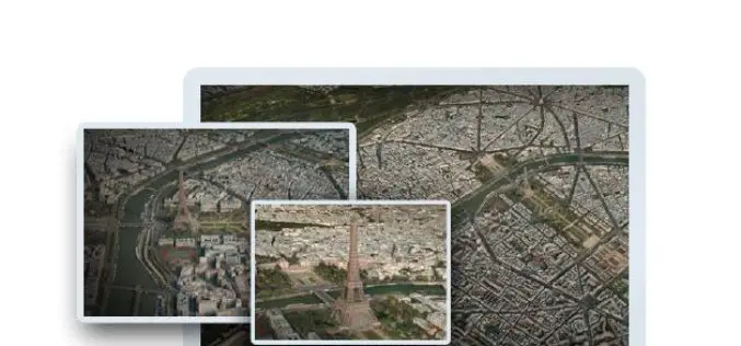
McLean, VA — March 3, 2017 — Vricon, a leading provider of highly accurate photorealistic 3D products and elevation data of the earth, today announced it has signed a reseller agreement with
How Do I Choose the Right Image-capture Settings for 3D Models?
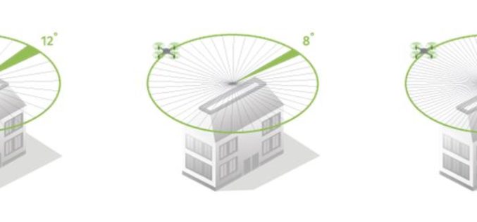
How do I choose the right image-capture settings for 3D models? What are the effects of the “angle between images” setting in circular missions when it comes to 3D reconstruction?

Skymet Tackles Perils of Agriculture Climate Change
Skymet is India’s foremost private and largest weather monitoring and agriculture risk Solutions Company, expert in measuring, predicting and limiting climate risk in agriculture, disaster management and energy. Over the

Airbus Partners with Bird.i for Easy Access to Fresh Earth Observation Imagery
Toulouse, 27/02/2017: Airbus Defence and Space has closed a partnership agreement with Bird.i, a global platform for accessing the world’s best satellite, airborne and drone imagery. Objective of the partnership
OGC Invites You to the Arctic Spatial Data Pilot Demonstration
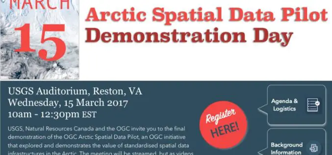
23 February 2017: The Open Geospatial Consortium (OGC®) invites members and the public to attend the OGC Arctic Spatial Data Pilot demonstration online or in-person on the 15th March 2017
