 MARKHAM, Ontario, Canada — March 07, 2017: PCI Geomatics, a world-leading developer of remote sensing and photogrammetric software and systems, announced today that it has released a new UAV image alignment and analysis tool: STAX.
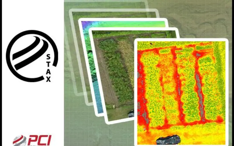
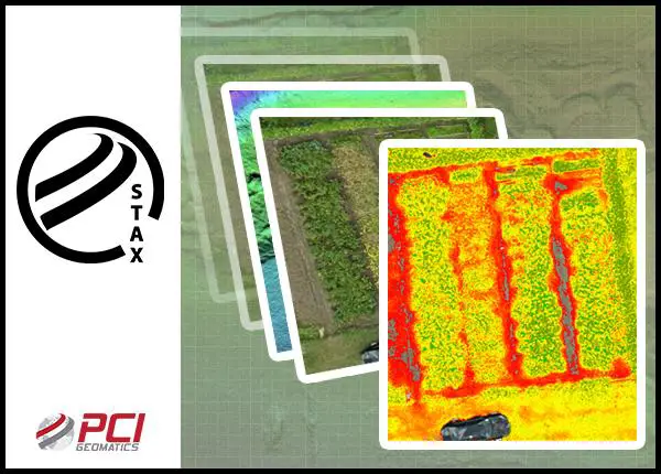
STAX provides simple to use automated tools for aligning and analyzing UAV imagery without the steep learning curve or price of a full photogrammetric software suite. STAX was built specifically to address the challenges of collecting and aligning multiple UAV surveys of the same location over time. By automating the alignment process, UAV operators can reduce or eliminate the use of ground control points that are traditionally installed and measured in survey sites. Relative corrections can be applied by using one of the surveys in a stack as a reference. Alternately, a highly accurate reference image of similar resolution over the area of interest can be used to automate the image alignment process.
Once multi-pass UAV surveys have been aligned, customers can accurately make comparisons between surveys to measure changes over time, or perform feature extraction. STAX provides tools to calculate vegetation indices, as well as visualization and basic cartographic capability. Stacked data sets can be exported in standard GIS-ready formats where further and deeper analysis can be performed in tools such as Geomatica.
“We spent considerable time talking to UAV operators over the last year, and discovered that many face challenges as it relates to automating the image registration process,” said David Piekny, Product Marketing Manager at PCI Geomatics. “STAX provides a simple to use in-field or in-office tool that will allow the rapid alignment and analysis of multi-temporal changes in vegetation health through well-known vegetation assessment algorithms such as NDVI, MCARI and several others.”
STAX is offered as a standalone tool and can be rented for specific terms (3, 6, or 9 months, up to one full year). Purchasing of the software can be completed through the dedicated online store which is accessible at http://stax.pcigeomatics.com. A full year license is offered at a 16% discounted price of $500 USD.
A fully functional 30-day trial license can be obtained through the STAX website, which also provides sample multi-temporal imagery collected through a DJI Phantom drone survey. Customers can obtain support through the PCI Geomatics user forum, and additional resources are available at the PCI Geomatics Customer Support Website: http://support.pcigeomatics.com.