
Business

Low-Level Flights in Southeast Missouri Will Look at Geology and Mineral Resources
A high-resolution airborne survey to study the rocks within the St. Francois Mountains will be conducted by U.S. Geological Survey scientists starting this week. Over the next month, an airplane
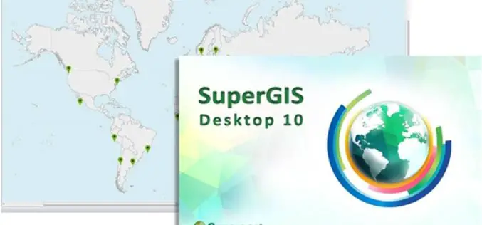
SuperGIS Desktop 10 Is Now Officially Unveiled!
Attention, GIS users! Supergeo Technologies is releasing the beta version of its all new GIS software—SuperGIS Desktop 10. Global users can now download this version directly from the official website
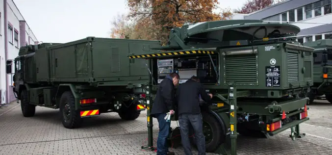
Airbus Defence and Space Completes First Mobile General Ground Station for NATO’s Alliance Ground Surveillance
Airbus Defence and Space has completed the first of its newly developed mobile general ground stations (MGGS) for the NATO’s Alliance Ground Surveillance (AGS). AGS is a NATO programme to

Ordnance Survey Acquire Shareholding in Dennis Maps
Ordnance Survey (OS) and Dennis Maps have signed an agreement for Britain’s mapping agency to acquire a 25% The new partnership builds on the relationship between the two organisations which commenced
Esri and NASA Collaborate to Advance Cloud Access to Imagery
Esri Opens LERC to the Geospatial Community Redlands, California—Esri and NASA are collaborating to improve access to imagery and raster data stored in the cloud using a combination of two

Geographic Calculator 2016 Now Available with Significant Upgrades in Design and Performance
Hallowell, Maine – December 15, 2015 – Blue Marble Geographics (bluemarblegeo.com) is pleased to announce the release of the Geographic Calculator 2016. This major upgrade to the industry’s preeminent geodetic

European Space Imaging Wins Additional Supply Contract for the European Commission
Munich, 16/12/15 – European Space Imaging announced today that the company has signed an additional multi-year framework supply contract with the European Commission for the provision of very high-resolution (VHR)
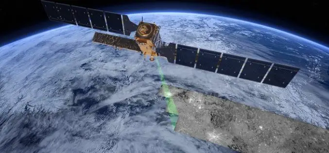
The “Radar Vision” Goes On – Two More Sentinel-1 Satellites
– Airbus Defence and Space signs €143M contract with Thales Alenia Space – New Sentinel instruments ensure services for Copernicus beyond 2029 Airbus Defence and Space, the world’s second-largest space

OGC Announces Standard That Makes Complex Environmental Data Easier To Use in GIS
The membership of the Open Geospatial Consortium (OGC) has approved the OGC CF-netCDF 3.0 encoding using GML Coverage Application Schema, an extension to the OGC CF-netCDF 3.0 encoding standard. The
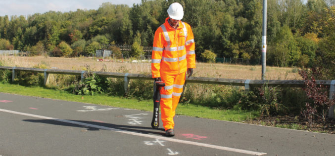
New Leica ULTRA Locator: Best Accuracy Results in Faster, More Confident Work
Outstanding performance with operational ease and flexibility help users attain the highest accuracy to avoid costly mistakes, such as cutting utility lines or delaying project schedules during excavation work. By
