USDA Funds Bodkin Design to Develop UAV Sensor for Precision Agriculture
Bodkin Design & Engineering, LLC has been awarded a $100,000 contract from the U.S. Department of Agriculture (USDA) to develop a compact hyperspectral imager for UAV platforms. This unique camera will monitor water stress in plants from small remote controlled planes, in addition to measuring fertilizer and chemical distribution in farm fields. This 9-month-long project is funded under the Small Business Innovation Research (SBIR) program, and is one of the steps the Department of Agriculture is taking to reduce the impact of climate change.
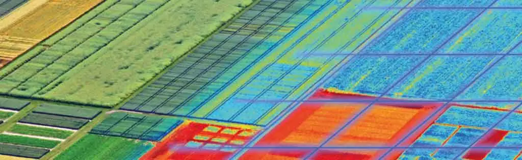
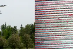
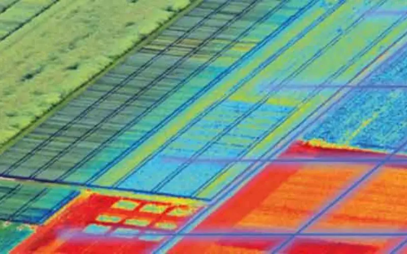
As drought persists in certain areas of the western U.S., precision farming techniques are being developed by the USDA and others to control irrigation, pesticide, and fertilizer application in order to ensure crop health and conserve resources by preventing over-application. Water stress, in addition to disease and nutrient stresses of crops, can be estimated by measuring optical spectral reflectance from the canopy. The USDA is interested in hyperspectral imaging, or imaging spectroscopy, to aid in the crop stress efforts since this technique combines the spatial image with spectral analysis to build up a three-dimensional data cube containing information that cannot be seen by the human eye. The vast amount of information contained in these images allows for more accurate identification of materials.
“BD&E’s patented design provides a highly sensitive instrument for this application, in a simple, low-cost, robust package. A prototype hyperspectral imager has been demonstrated in the lab and under this program we will demonstrate its efficacy in the field.” said owner and founder of Bodkin Design & Engineering, Andrew Bodkin.
There are several methods currently available for acquiring hyperspectral images, but they are limited in their ability to satisfy the USDA’s need for spatial fidelity in airborne imagery, while keeping costs down. Remote sensing using satellites or manned aircraft suffers from data availability due to low frequency collection, weather conditions, and high cost. The innovative device being built by Bodkin Design & Engineering, LLC will capture spectral and spatial information in one instantaneous video frame. It has no moving parts and provides high-resolution spectra in a compact, ruggedized, low-cost package. This technology will compliment and improve on efforts currently under way in the precision agriculture market to understand the best practices in managing food and resource supply for the ever-growing population.
Source: Bodkin Design & Engineering