
Webinars

PCI Geomatics Webinar: Ortho-Mosaicking with Geomatica
Webinar: Ortho-Mosaicking with Geomatica PCI Geomatics is the developer of Geomatica- a complete and integrated desktop software that features tools for remote sensing, digital photogrammetry, geospatial analysis, map production, mosaicking

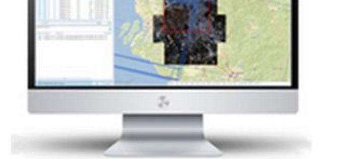
Esri Webinar: Reveals New Methods of Imagery Change Detection
The Art and Science of Imagery Change Detection Wed, Oct 21, 2015 10:30 PM – 11:30 PM IST Show in My Time Zone The only thing constant is change. This
Webinar: Take Control of Your Geospatial Data with 1 Simple Platform
Take Control of Your Geospatial Data with 1 Simple Platform Thu, Oct 1, 2015; 9:30 PM – 10:30 PM IST, 12:00 PM – EST Learn how to manage your data with

Webinar on Image Centric GIS for Complete Geospatial Processing Using ENVI & ArcGIS
Improvements in the quality and availability of geospatial imagery in recent years has driven organizations to include geospatial imagery as an integral part of their GIS strategy. While this trend

Webinar: Introducing the Trimble Remote Sensing Suite
Trimble has announced a new software solution, the Trimble Remote Sensing Suite. The new software suite enables geospatial professionals to efficiently extract high-quality information from satellite imagery for environmental, urban
Webinar on Transition of ENVI Analytics from Desktop to Web
Webinar on Transition of ENVI Analytics from Desktop to Web Tuesday, September 15, 2015 1:30 pm Singapore Time (Singapore, GMT+08:00) Geospatial imagery is used more and more across industries because

Remote Sensing Applications Webinar- NSW, RSPC
SSSI NSW are proud to present a webinar on “Remote Sensing Applications”. This webinar will cover interesting applications for satellite imagery. Dr Andrew Robson, from the University of New England,
Webinar: Predicting the Future of Forests with SuperGIS Solutions
Predicting the Future of Forests with SuperGIS Solutions Thursday, September 10th 09:00 AM (GMT) Your local time For the sustainable use of bio-resources and maintain ecosystem function, Species Distribution Model

TerraGo Edge 3.7 Enhances Forms and Expands High Precision GPS/GIS Integration
TerraGo Edge 3.7 Enhances Forms and Expands High Precision GPS/GIS Integration September 15, 2015 12:00 – 12:30 PM ET The latest release of TerraGo Edge further expands integration with GIS
Webcasts: Creating Digital Terrain Models with ImageStation DTM for GeoMedia
Creating Digital Terrain Models with ImageStation DTM for GeoMedia Accurate and up-to-date elevation data layers provide the foundation for a wide variety of applications, from urban change detection to transportation
