Webinars
Register Now! Capitalize on WorldView-3 SWIR Data with ENVI
Capitalize on WorldView-3 SWIR Data with ENVI 03 December 2015 | 9:00am MST (GMT-07:00) There is a multitude of applications for WorldView-3 because of its ability to collect data from
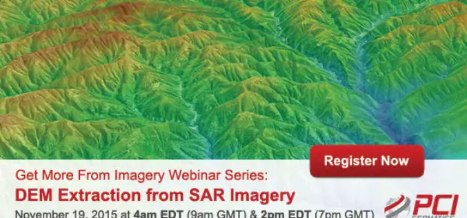
Webinar Series: DEM Extraction from SAR Imagery
Get More From Imagery Webinar Series: DEM Extraction from SAR Imagery Nov. 19, 2015 at 4am EDT (9am GMT) | Nov. 19, 2015 at 2pm EDT (7pm GMT) PCI Geomatics is the
Putting UAVs to Work: Construction Firms Utilizing Unmanned Aerial Vehicles
Putting UAVs to Work: Construction Firms Utilizing Unmanned Aerial Vehicles Date: November 18, 2015 | 1:00 PM (EST) The fascination surrounding UAVs (or drones) is undeniable, and some of the
RIEGL USA Invites You to Join Terrestrial LiDAR Webinar
RIEGL USA Invites You to Our Terrestrial LiDAR Webinar 19 November 2015, 1:00 PM – 2:00 PM, Eastern Time In the fields of surveying, engineering, and construction, terrestrial LiDAR has become a
A Building Renovation Project Using 3D Scanning: From Field Collection to 3D Modeling In SketchUp
Time To Do More Webinar: A building renovation project using 3D scanning: from field collection to 3D modeling in SketchUp Wed, Nov 11, 2015 8:30 PM – 9:30 PM IST
Webinar: Raster Processing In Global Mapper
Raster Processing In Global Mapper November 19, 2015 No Registration Required In many GIS processes and procedures, raster data serves as a static base map or reference layer upon which
Volumetric Analysis and DEM Applications Using PCI Geomatica
Volumetric Analysis and DEM Applications Nov. 5, 2015 at 4am EDT (8am GMT); Nov. 5, 2015 at 2pm EDT (6pm GMT) PCI Geomatics is the developer of Geomatica- a complete and
Make Better Geospatial Decisions with Accurate Elevation Data
ENVI Webinar: Make Better Geospatial Decisions with Accurate Elevation Data November 5, 2015; 3:30 PM Berlin (GMT +2); 1PM New York (GMT -4) Precise elevation data is the initial foundation of any accurate geospatial
How to Integrate Total Station, Level, and GNSS Data in Trimble Business Center
Webinar: How to Integrate Total Station, Level, and GNSS Data in Trimble Business Center Wed, Oct 28, 2015 7:30 PM – 8:30 PM IST (Show in My Time Zone) You’re invited
NASA Webinar – Geospatial Data Abstraction Library (GDAL) Enhancements for GIS
Geospatial Data Abstraction Library (GDAL) Enhancements for GIS Thursday, October 29, 2015 at 2pm ET Enable your Earth Observing data products to work in applications built on GDAL, such as


