China Launches Three Remote Sensing Satellites – Jilin-1-04, Jilin-1-05 and Jilin-1-06
November 21 (ANI): China has launched three remote sensing satellites to promote commercial use for the remote sensing industry.
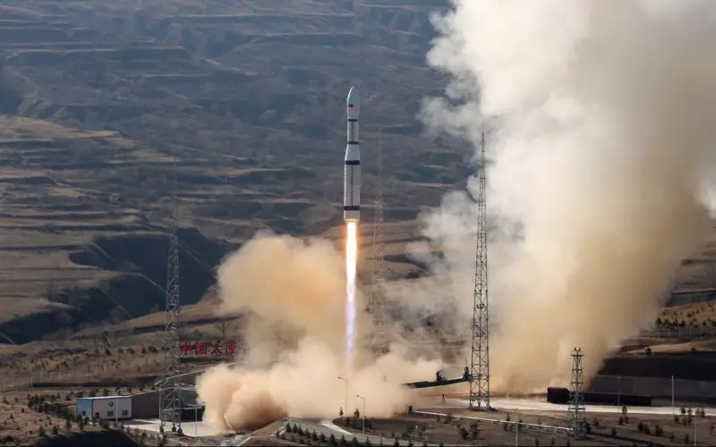
The satellites — Jilin-1-04, Jilin-1-05, and Jilin-1-06 — were carried by a Long March-6 rocket from the Taiyuan Satellite Launch Centre in north China’s Shanxi Province at 12:50 pm (local time) on November 21, reported Xinhua.
Long March-6 rocket is a new generation of China’s liquid-fuelled carrier rocket developed by China Aerospace Science and Technology Corporation.
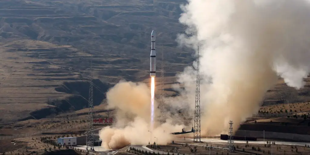
Long March 6 launches three Jilin-1 satellites on November 21, 2017. Photo Credit: Xinhua
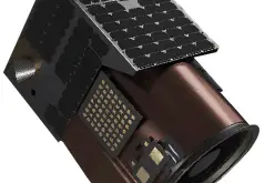
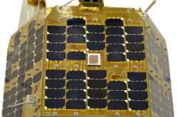
According to Xinhua, it was the third launch of the Jilin-1 satellite family, a remote sensing system of more than 60 satellites developed by Chang Guang Satellite Technology Co Ltd. Each Jilin-1 spacecraft weighs around 209 pounds (95 kilograms) and has dimensions of 3.6 by 3.9 feet (1.1 by 1.19 meters). The satellites feature a fixed solar array and are designed to offer their services for more than three years.
Jilin-1 04, 05, and 06, they are expected to deliver video imaging with a swath width of 11.9 by 2.8 miles (19 by 4.5 kilometers) with a resolution greater than 3.3 feet (one meter).
The system will be used for wide imaging, video imaging, and multispectral imaging. Remote sensing data will serve administrations and commercial customers.
The launch is the second mission of the Long March-6 and the 255th flight carried out with the Long-March series of carrier rockets.
Source; ANI and Spaceflight Insider