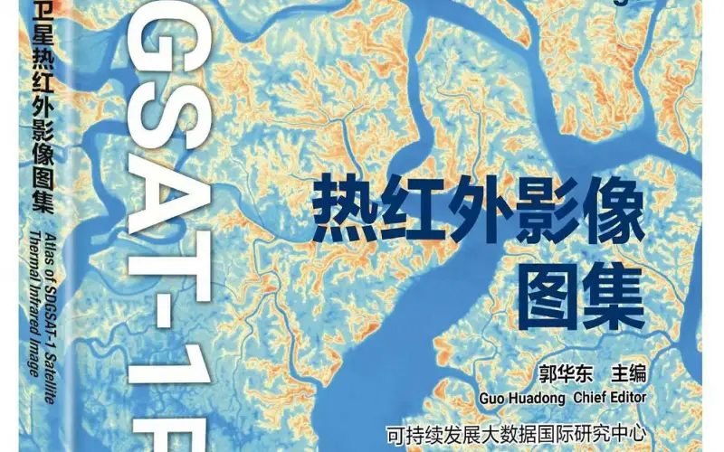
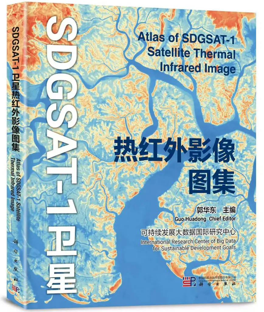
China has made a groundbreaking contribution to global sustainability efforts by releasing the world’s first Thermal Infrared Atlas. The atlas was launched during the 4th International Forum on Big Data for Sustainable Development Goals (SDGs) in Beijing, providing valuable data for sustainable development research.
This Thermal Infrared Atlas, developed by the International Research Center of Big Data for Sustainable Development Goals (CBAS), is based on data collected by the SDGSAT-1 satellite. SDGSAT-1, launched in November 2021, is the first satellite dedicated to supporting the UN’s 2030 Agenda for Sustainable Development. The atlas features 10 types of landscapes across 118 regions worldwide, offering insights into natural features like rivers, lakes, mountains, and deserts, as well as human activities such as industrial emissions and urban changes.
Applications of the Atlas
According to Guo Huadong, director of CBAS, the Thermal Infrared Atlas highlights the dynamic changes in Earth’s surface temperatures, closely linked to human activities and environmental processes. It serves as a crucial tool for studying climate change, urban heat islands, and the impact of industrial production. The atlas also supports research on agriculture, where it can monitor crop health and soil moisture, and in disaster management by identifying risks like wildfires and heat waves.
Guo emphasized the importance of international collaboration to expand this effort, with plans to launch additional satellites in the future. These satellites aim to create a constellation that continuously captures data on Earth’s surface, contributing to global sustainable development goals.
Future Developments and Global Cooperation
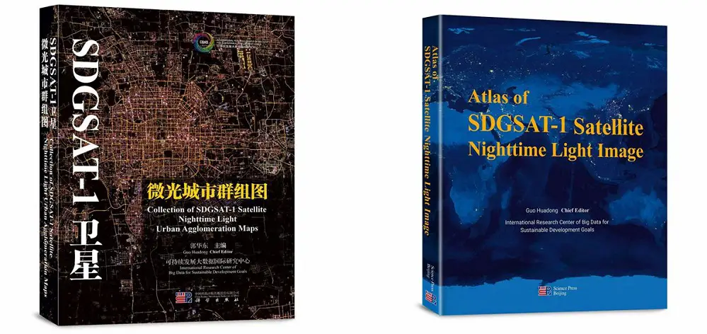
The forum also saw the release of two additional atlases, focusing on nighttime light images captured by SDGSAT-1. These provide further data on human activity, adding another layer to global sustainability research. The event, lasting three days, aimed to explore how digital technologies can accelerate progress towards achieving the 2030 Agenda.
This new Thermal Infrared Atlas is not only a scientific achievement but a vital resource for international agencies and organizations focused on sustainable development. It will enhance global understanding of climate-related changes and help develop data-driven strategies for a more sustainable future.
Source: Xinhua