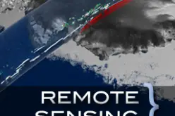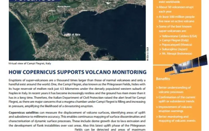
Eruptions of super-volcanoes are a thousand times larger than those of normal volcanoes and only a handful exist around the world. One, the Campi Flegrei, also known as the Phlegraean Fields, hides with its huge reservoir of molten rock just 4.5 kilometres under the densely populated western suburb of Naples in Italy. In recent years it has become increasingly restless and the ground has risen more than it has in a long time. Therefore, the Italian Department of Civil Protection raised the alert level for Campi
Flegrei, as there are major concerns that a magma chamber under Campi Flegrei is filling and increasing in pressure, amplifying the likelihood of a devastating eruption.
Copernicus satellites can measure the displacement of volcano surfaces, identifying areas of uplift and subsidence to millimetre accuracy. This enables continuous mapping of surface discontinuities and characterisation of dynamic surface processes. These include dome growth due to lava extrusion and the development of flank instabilities over vast areas.
Download How Copernicus Supports Volcano Monitoring