
Tag "Agriculture"
How Geospatial Mapping in Agriculture is Revolutionizing Crop Management Across South Asia By ICRISAT
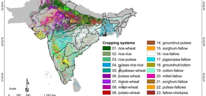
A recent study by scientists from the International Crops Research Institute for the Semi-Arid Tropics (ICRISAT) has brought to light the pivotal role of geospatial mapping and satellite data in
Krishi-DSS: Pioneering a New Era in Indian Agriculture
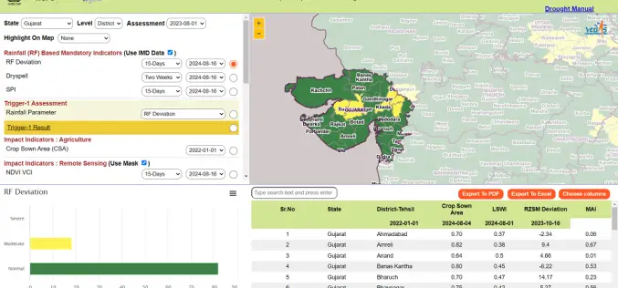
The Indian government has recently launched the Krishi-Decision Support System (Krishi-DSS), a pioneering geospatial platform designed to revolutionize agriculture in India by offering farmers real-time data and insights. Developed through

Soil Quality Analysis for Smart and Sustainable Farming
In the picturesque landscapes of Europe, a silent revolution is taking place in the fields of countless farms. At the heart of this transformation is the Soil Quality Analysis Tool

Technology Connecting Farmers to a Friend at High Heavens – A Talk with Ankur Omar, Founder of Farmonaut
GIS Resources had a questionnaire with Ankur Omar, Founder of Farmonaut. He has shared some interesting insights about Farmonaut.
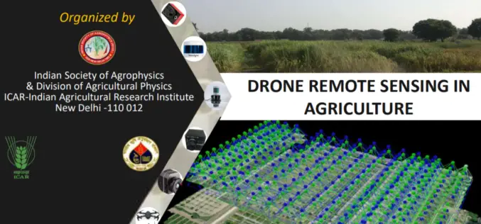
Full-Day Webinar on Drone Remote Sensing in Agriculture
Indian Society of Agro-Physics in association with ICAR- IARI is organizing one day webinar on Drone Remote Sensing in Agriculture. Hurry last date to apply is August 31, 2020.
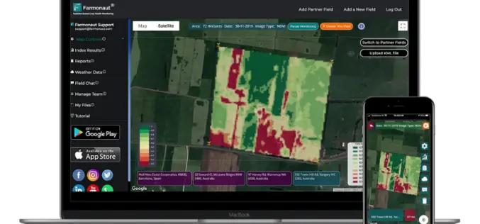
Satellite-Based Crop Health Monitoring System to Help Farmers
Farmonaut started in 2018 with a vision to bridge the technological gap between farmers and strives to bring state-of-the-art technologies in the hands of every farmer.

Kenyan Startup Apollo Agriculture Secures US$500,000 Funding
According to recent news, Kenyan startup Apollo Agriculture has secured US$500,000 in funding from Dutch Development Bank FMO and the Rabobank Foundation to fund harvesting cycles, further develop its credit model,

SimActive Software for Precision Agriculture in Brazil
June 12, 2018 – SimActive Inc. is proud to announce use of its software for precision agriculture in Brazil by Portal Produtos Agropecuários Ltda (Portal). Drone data is transformed into
Sentera Integrates High-Precision AGX710 Sensor with Dji Matrice 200 Series Industrial Drones
Seamless Digital Solutions, From Field to Action March 28, 2018 – Sentera today announced the immediate availability of the Sentera AGX710 gimbaled precision agriculture sensor with plug-and-play integration for DJI’s
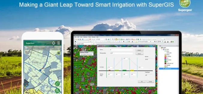
Making a Giant Leap Toward Smart Irrigation with SuperGIS
Geographic Information System (GIS) is becoming extremely popular nowadays for its capability of solving problems in the domains like cadastre management, network analysis, location selection, spatial statistics, etc. to name
