 Mumbai, India – Esri India (a joint venture between NIIT Technologies Limited, and Esri Inc.), country’s leading Geographic Information System (GIS) Software & Solutions provider, shared details of its offerings for planning Smart Cities
The pace of urbanization is speeding up in India with an expectation of better facilities and living conditions. In this context the Government of India has embarked on a program to develop 100 Smart Cities.
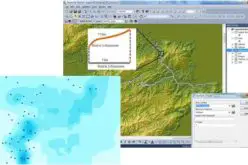
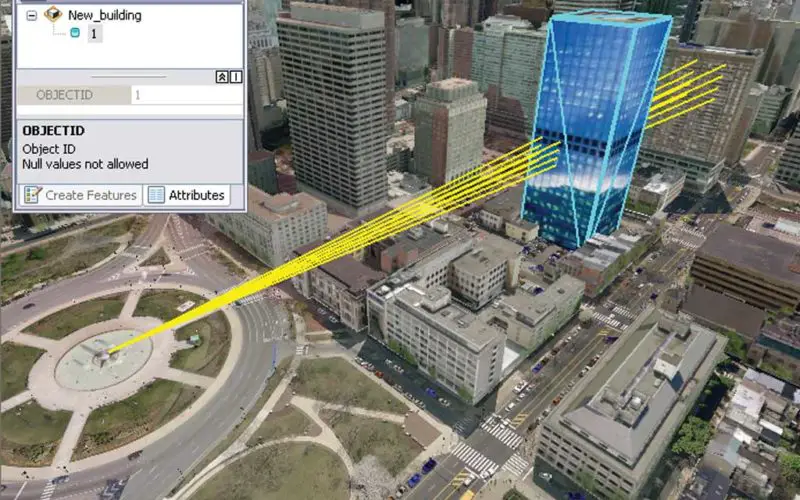
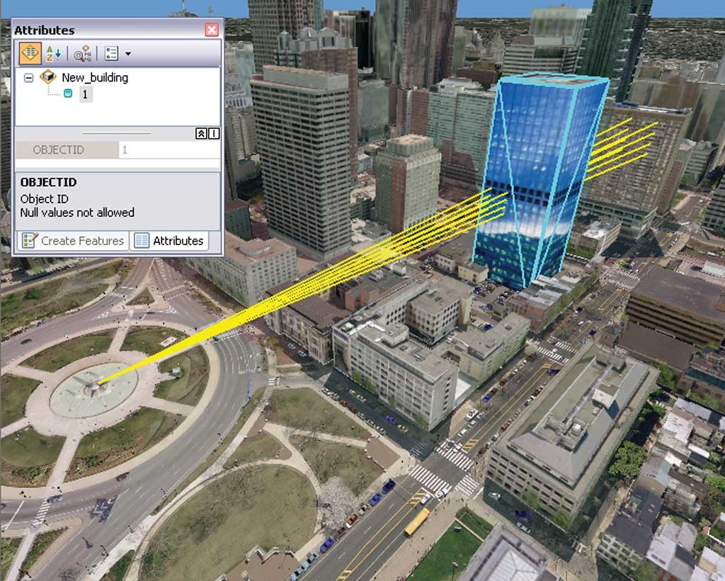
Esri India has introduced Geodesign, a key framework for conceptualizing and planning for Smart Cities and associated tools. These tools include GeoPlanner, a specialized application for land based planning, CityEngine, a 3D design tool with visualization technology to improve urban planning, and GeoEvent Processor which captures feeds from multiple sources for real time processing.
Arvind Thakur, Chairman Esri India said, “Location is a common denominator in every aspect of Smart City development thus creating a strong need for integrating GIS in its planning. An integrated approach will result in sustainability and increased benefits for citizens residing in Smart Cities”.
Globally Esri technology is at the core of some of the major smart city initiatives such as Masdar City – world’s first carbon-neutral city and Singapore Jurong Lake District. In India, GIFT City and Lavasa are using Esri tools for Urban Planning, Infrastructure planning, Construction monitoring and management.
Agendra Kumar, President, Esri India commented, “Geodesign provides the design framework and supporting technology for professionals to leverage geographic information resulting in integrated designs that closely follow natural systems. The suite of products from Esri integrates all aspects of smart city ecosystem.”
Esri technology has played a pivotal role in building Smart Communities including sustainable cities, healthy communities, liveable communities, and smart grids across the globe. Esri software has been in use in India by various parts of a city system like utilities – Electric, Water and Gas; city planning departments; land management; roads & highways; security & safety. Esri India has vast experience in implementing GIS for various city operations like Municipal Corporation of Greater Mumbai, Orange City Water, Nagpur and Commissionerate of Municipal Administration, Chennai.
# # #
Press Information:
Pallavi Bahuguna, Corporate Communications
Tel.: +91-120-7119039
E-mail: marketing@esriindia.com
General Information: info@esriindia.com