High-Precision Land-Cover-Land-Use GIS Mapping and Land Availability and Suitability Analysis for Grass Biomass Production in the Aroostook River Valley, Maine, USA
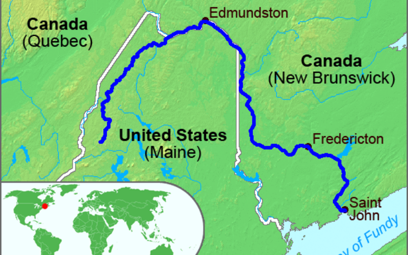
High-Precision Land-Cover-Land-Use GIS Mapping and Land Availability and Suitability Analysis for Grass Biomass Production in the Aroostook River Valley, Maine, USA
– Chunzeng Wang , Jason Johnston, David Vail, Jared Dickinson and David Putnam
 Abstract:
Keywords: LCLU mapping; GIS; multispectral imagery; land availability analysis; land suitability analysis; grass biomass; Aroostook; Maine
Download Paper
Categories:
Research Papers