Illegal mining is a pervasive global issue that poses severe environmental, economic, and social threats. It involves the unregulated extraction of valuable minerals and metals, leading to deforestation, water pollution, and the destruction of ecosystems. The consequences extend beyond environmental degradation, affecting local communities and economies.
Remote sensing technology, a method of collecting data about the Earth’s surface without physical contact, offers a promising solution to detect and curb illegal mining activities. This article explores how remote sensing and GPS technology play a crucial role in combating illegal mining.
Understanding Illegal Mining
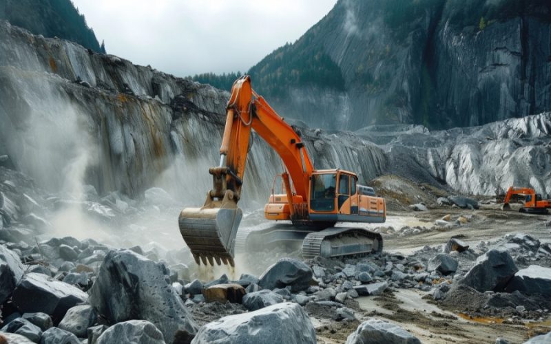
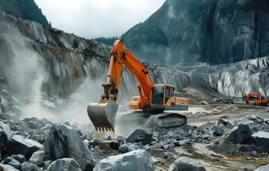
Illegal mining encompasses various forms, including artisanal and small-scale mining (ASM), where individuals or small groups operate without legal permits, and large-scale illegal operations that involve sophisticated machinery and significant environmental damage.
The environmental consequences are severe, leading to habitat destruction, soil erosion, and contamination of water bodies with toxic chemicals. Economically, illegal mining undermines legitimate mining operations, leading to revenue loss for governments.
Socially, it often results in unsafe working conditions and exploitation of local communities. Detecting and controlling illegal mining is challenging due to its often clandestine nature and the remote locations of operations.
Illegal Mining in Peru
Peru is one of the world’s leading gold producers, but it also faces significant challenges with illegal mining, particularly in the Amazon rainforest region. Illegal mining in Peru has led to extensive deforestation, mercury pollution, and severe health impacts on local communities.
The Madre de Dios region, in particular, has become a hotspot for illegal gold mining, destroying vast areas of tropical rainforest. The Peruvian government has struggled to combat these activities due to the remote locations and the involvement of organized crime networks.
The social consequences are equally dire, with reports of labour exploitation and unsafe working conditions being prevalent in illegal mining sites.
Role of Remote Sensing in Detecting Illegal Mining
Remote sensing technology enables the identification and monitoring of illegal mining activities by capturing high-resolution images of the Earth’s surface. Satellites equipped with sensors can detect changes in land cover, vegetation, and soil composition, indicative of mining activities.
For instance, the use of multispectral and hyperspectral imaging helps identify specific minerals and the extent of mining operations. Case studies from countries like Brazil and Ghana have shown how remote sensing has successfully detected illegal mining activities, leading to enforcement actions.
Remote sensing offers significant advantages over traditional methods, including broader coverage, higher accuracy, and the ability to monitor inaccessible areas.
Techniques and Tools in Remote Sensing for Illegal Mining
Remote sensing technology encompasses a variety of techniques and tools designed to monitor, detect and curb illegal mining activities effectively. Here are some of the most practical methods used:
- Satellite Imagery
- High-Resolution Satellites: Satellites like Landsat, Sentinel, and WorldView provide detailed images of the Earth’s surface, enabling the detection of changes in land cover, vegetation, and soil composition. These satellites can capture images at resolutions as high as 30 centimetres, which is critical for identifying small-scale illegal mining operations.
- Multispectral and Hyperspectral Imaging: These imaging techniques capture data at different wavelengths, allowing the identification of specific minerals and the extent of mining activities. For instance, hyperspectral sensors can detect subtle differences in vegetation health, which may indicate mining-induced deforestation.
- Drones and UAVs (Unmanned Aerial Vehicles)
- Close-Range Monitoring: Drones equipped with high-resolution cameras and sensors can capture detailed images and videos of mining sites. This is particularly useful in rugged terrains or remote areas where satellite imagery may be insufficient.
- Real-Time Data Collection: Drones can provide real-time monitoring and data collection, enabling rapid response to illegal activities. They can fly low and cover areas more frequently than satellites, offering up-to-date information.
- Geographic Information Systems (GIS)
- Data Integration and Analysis: GIS integrates various data sources, including satellite images, drone footage, and ground-based data, to create comprehensive maps and models. These systems help in analyzing spatial data, identifying patterns, and predicting potential illegal mining hotspots.
- Change Detection: GIS can track changes over time, comparing historical data with current observations to detect unauthorized land use and environmental degradation.
- Machine Learning in Illegal Mining
- Automated Detection: Machine learning algorithms can process large datasets quickly, identifying patterns and anomalies that indicate illegal mining activities. These algorithms can be trained to recognize specific features associated with mining, such as disturbed soil, water discolouration, and deforestation.
- Predictive Analytics: By analyzing historical data, machine learning models can predict future illegal mining activities, allowing for proactive measures.
- Synthetic Aperture Radar (SAR)
- All-Weather Monitoring: SAR can penetrate cloud cover and operate day or night, making it invaluable in regions with frequent cloud cover or during nighttime. It uses microwave radar to create high-resolution images of the Earth’s surface.
- Surface Deformation Detection: SAR can detect minute changes in the Earth’s surface, which are often associated with mining activities, such as subsidence or land deformation.
These tools are particularly useful in rugged terrains and remote locations. Data analysis techniques, such as Geographic Information Systems (GIS) and machine learning algorithms, help interpret the vast amounts of data collected, identifying patterns and anomalies associated with illegal mining.
How GPS Can Help to Curb Illegal Mining and Transport
GPS technology plays a crucial role in curbing illegal mining and its associated transportation activities. By providing precise location data, GPS systems can track the movement of mining equipment and vehicles, ensuring they operate within legal boundaries.
Authorities can use GPS to monitor the routes taken by transport vehicles, ensuring that mined materials are not smuggled or transported to unauthorized locations.
This real-time tracking capability enhances the effectiveness of law enforcement agencies in intercepting illegal mining operations and their supply chains. Additionally, GPS can be integrated with remote sensing data to provide a comprehensive monitoring system, enhancing the overall accuracy and efficiency of detecting and curbing illegal mining activities.
Strengthening Technical Measures: The Uttar Pradesh Initiative
In a notable development, Uttar Pradesh (UP) has implemented robust technical measures to combat illegal mining and transportation. The state government has increased the use of technology, including GPS and remote sensing, to monitor mining activities more effectively.
These measures include the installation of GPS devices on mining vehicles to track their movement and ensure compliance with legal routes. Additionally, the state has enhanced its use of drone technology to conduct aerial surveys and monitor mining sites, providing real-time data to authorities.
A mining surveillance system (MSS) can help build a surveillance network using the latest satellite technology and automatic image processing software. Such a system can look into existing mining lease boundaries to search for any unusual activity relating to illegal mining. Any discrepancy can generate automatic triggers of unauthorized activities and will curb illegal mining and transportation.
This initiative reflects a growing trend towards leveraging technology to address illegal mining and its associated challenges.
Benefits of Remote Sensing and GPS in Curbing Illegal Mining
One of the primary benefits of remote sensing and GPS technology is real-time monitoring, enabling quick responses to illegal mining activities. The ability to continuously monitor vast areas ensures timely detection and intervention. Remote sensing is also cost-effective compared to traditional surveillance methods, which require extensive fieldwork and manpower.
The enhanced accuracy and coverage of remote sensing technology ensure that even small-scale illegal operations are detected. GPS tracking of transport routes adds a layer of security, preventing the illicit movement of mined materials.
This comprehensive monitoring capability helps authorities take swift action, reducing the environmental and social impacts of illegal mining.
Challenges and Limitations
Despite its advantages, remote sensing faces technical and operational challenges. High-resolution satellite imagery and advanced UAVs can be expensive, and there is a need for skilled personnel to analyze the data. Data privacy and ethical considerations must be addressed, to ensure the surveillance does not infringe on individual rights.
Moreover, remote sensing technology may have limitations in areas with dense vegetation or cloud cover, affecting the accuracy of data. Accessibility to this technology can also be a barrier for developing countries with limited resources. GPS technology, while effective, requires constant maintenance and updating to ensure accuracy and reliability.
Future Prospects and Innovations
Emerging technologies, such as artificial intelligence and machine learning, hold promise for enhancing remote sensing capabilities. These technologies can improve the accuracy and speed of data analysis, making it easier to detect and curb illegal mining activities.
Collaborative efforts between governments, NGOs, and international organizations are crucial for sharing knowledge and resources. Global initiatives, such as the United Nations’ efforts to promote sustainable mining practices, play a significant role in advancing the use of remote sensing technology.
Innovations in GPS technology, such as more affordable and accurate systems, will further enhance the ability to monitor and control illegal mining and transport activities.
Conclusion
Remote sensing and GPS technologies are powerful tools in the fight against illegal mining. They offer real-time monitoring, cost-effectiveness, and enhanced accuracy, making them essential for modern environmental protection efforts.
Continued research and implementation of these technologies are vital for addressing the challenges posed by illegal mining. By leveraging the advancements in remote sensing and GPS, we can safeguard our natural resources and ensure sustainable development for future generations.
Also Read –
GIS Resources Magazine (Issue 2 | June 2024): Geospatial Technologies in Mining


