3D imagery of buildings and terrain of India’s major cities, including Rashtrapati Bhavan and PMO, could soon be seen in Google Earth with the government contemplating to give permission for uploading pictures of the country’s metropolitan areas.
3D imagery provides an immersive experience as one can explore, just like the view when someone is flying over the city.
If permission is given, apart from Rashtrapati Bhavan and Prime Minister’s Office, which is located in South Block, 3D imagery of other sensitive buildings like North Block, Prime Minister’s residence, headquarters of Army, Air Force, Navy could also also be seen in Google Earth.
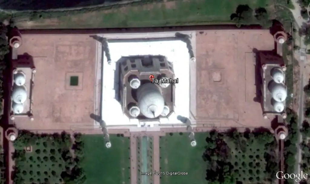
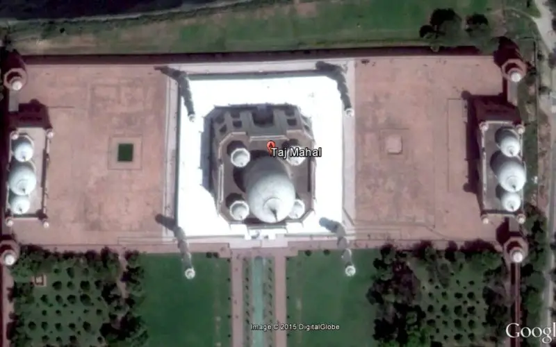
3D Imagery Taj Mahal, India
Home Ministry officials recently held a meeting with representatives of Google and the issue was discussed threadbare.
“Discussions are on and we are planning to give permission to Google to put 3D imagery of Indian metropolitan areas in Google Earth,” a Home Ministry official said.
In Google Earth 7, as it is zoomed in, buildings and terrain will start to appear in 3D. Once you can see the buildings, pan, zoom, tilt and rotate to explore the 3D environment.
Anyone can view 3D imagery by using Google Earth 7 on the devices smart phones and desktop.
You may enjoy 3D imagery of Taj Mahal, Mumbai CST Railway Station or Howrah Bridge Kolkata (famous for its engineering marvel).
– PTI