MapmyIndia Expands Government Reach Through Digital Mapping Partnership
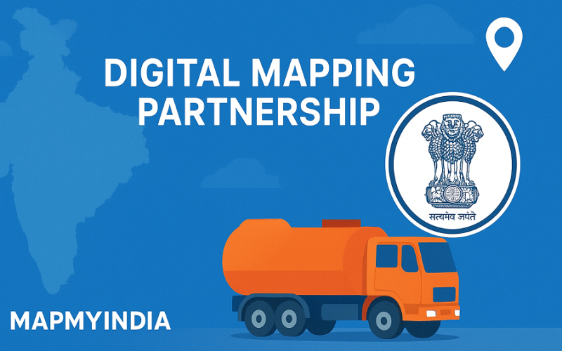
India’s geospatial ecosystem is set for a major upgrade as MapmyIndia Mappls enters two strategic agreements with the Survey of India and Indian Oil Corporation Ltd (IOCL). The move signals a strong shift toward building indigenous digital mapping tools, advanced IoT systems, and real-time monitoring frameworks for national-scale operations. This Digital Mapping Partnership marks an important step in strengthening India’s digital infrastructure.
Under the collaboration with the Survey of India, Mappls will support the development of a structured national geospatial framework. The agreement covers data standardisation, integration of authoritative maps, and the creation of interoperable services for government agencies. Core components include a Geospatial Data Integration and Dissemination System, an Integrated Geospatial Application Interface, and a Spatial Data Registry. These systems are intended to provide ministries, researchers, and industry stakeholders with accurate and accessible spatial datasets.
This engagement reflects the Survey of India’s larger mission to improve mapping quality across sectors by promoting Indian-made solutions. By relying on domestic deep-tech capabilities, the agency aims to modernise data workflows and support future applications ranging from disaster response to infrastructure planning. The Digital Mapping Partnership is expected to accelerate this transition by merging institutional knowledge with private-sector innovation.
MapmyIndia has also secured a major contract from IOCL to deploy a Centralised Vehicle Tracking and Management System (CVTMS) for nearly 23,000 LPG tankers across the country. The solution integrates IoT sensors, geofencing tools, route optimisation models, and real-time alerts. It will support safer transportation, reduce risks on highways, cut operational costs, and help prevent pilferage. IOCL’s nationwide fleet operations are among the largest in India, making this deployment a critical logistics modernisation initiative.
Company executives say these projects highlight Mappls’ ability to deliver enterprise-grade solutions at national scale. The firm has been expanding its government portfolio through engagements with transport, rail, and urban agencies. Leaders within Mappls describe the Digital Mapping Partnership as a proud milestone that aligns with the Digital India vision and strengthens the country’s push toward geospatial self-reliance.
Analysts suggest that these collaborations could help India close long-standing gaps in data interoperability and map accuracy. They also point out that homegrown platforms can play a major role in reducing dependency on foreign mapping technologies. As the demand for precise geospatial intelligence grows, partnerships like this are likely to shape the next phase of India’s digital transformation.
Source: The Hindu, Tribune India