NAC and NRSC Sign MoU to Integrate Geospatial Training into Construction Sector
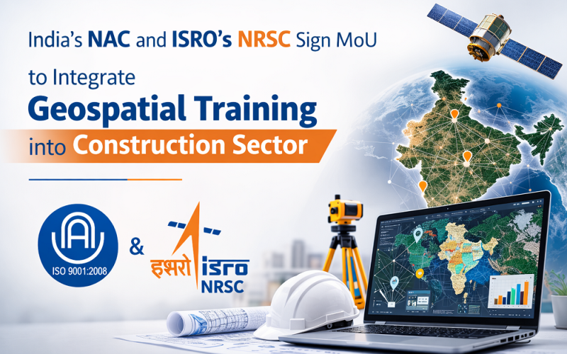
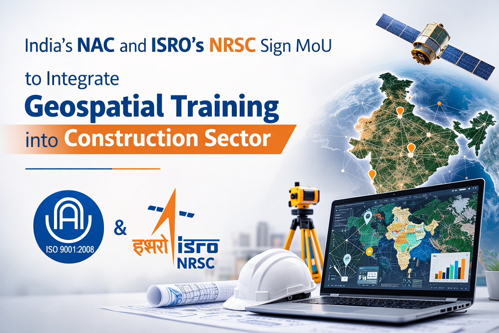
The National Academy of Construction (NAC) and the National Remote Sensing Centre (NRSC), a primary earth observation centre of the Indian Space Research Organisation (ISRO), have signed a Memorandum of Understanding to embed geospatial technology training into India’s construction and infrastructure workforce. The partnership, announced on 11 March 2026, will integrate remote sensing and GIS modules into existing NAC training programmes and launch new executive development courses. The initiative is also expected to accelerate the integration of Geospatial Training into Construction education frameworks for infrastructure professionals.
Background: Remote Sensing and GIS Skills Gap in India’s Infrastructure Sector
NRSC, headquartered in Hyderabad, Telangana, is India’s leading centre for satellite remote sensing data acquisition, processing, and application development. It operates under ISRO and delivers geospatial services to government agencies, research institutions, and industry across sectors including agriculture, forestry, water resources, urban planning, and disaster management. The NAC, based in Hyderabad, trains thousands of construction professionals annually for India’s rapidly expanding infrastructure sector.
NRSC Deputy Director N. Aparna noted that skills in geographic information systems and remote sensing are becoming essential across fields such as construction, irrigation, forestry, transportation, and climate studies. India’s major infrastructure programmes — including PM GatiShakti and the Smart Cities Mission — increasingly rely on spatial data for site selection, route optimisation, and environmental impact assessment.
Geospatial Training into Construction Methodology to be Delivered Under the MoU
Core Remote Sensing and GIS Modules
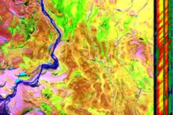
Training modules will cover core remote sensing principles including multispectral and SAR satellite imagery interpretation, digital image processing, orthorectification, and object-based image analysis. GIS training will address vector and raster spatial data models, georeferencing, spatial analysis workflows, and the use of open-source platforms such as QGIS alongside commercial tools such as ArcGIS. NRSC’s Bhuvan geoportal — India’s national web GIS platform — will be incorporated as a primary data access tool. These modules are designed to systematically introduce Geospatial Training into Construction workflows used in modern infrastructure planning.
Executive Development Courses for Infrastructure Sectors
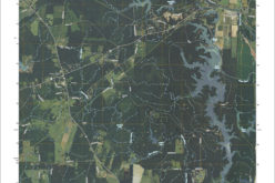
New executive development courses will focus on applied geospatial technology in construction, irrigation infrastructure, transport corridor planning, and climate resilience. These courses will train mid-career and senior professionals in satellite-derived digital elevation models (DEMs), LiDAR-based topographic data, GNSS surveying, and the integration of spatial data into project management workflows.
Training Delivery Across India’s Construction Workforce
The MoU covers NAC training facilities in Hyderabad as the primary delivery hub, with potential extension to NAC regional centres across India. NRSC currently trains approximately 500 government officials and academic scholars annually through its own programme, and the NAC partnership is expected to significantly extend the reach of geospatial education to the private construction sector. Both organisations will co-develop curricula aligned with NRSC’s established course structure, which includes specialisations in land resources, climate studies, disaster management, and urban applications.
Applications and Impact for India’s Infrastructure Development
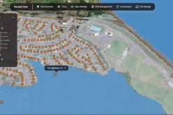
Equipping India’s construction professionals with geospatial skills will accelerate the adoption of spatial data in infrastructure project planning and delivery. Applications span site suitability analysis for roads and bridges, flood risk mapping for hydraulic structures, green cover monitoring along highway corridors, and real-time asset tracking using GPS and GIS platforms.
- Improved accuracy of land acquisition surveys using GNSS and satellite imagery
- Better flood resilience planning for infrastructure through terrain analysis with LiDAR DEMs
- Support for India’s Green Highways Policy through satellite-based vegetation monitoring
Conclusion
The NAC–NRSC MoU is a strategic step in mainstreaming geospatial literacy across India’s infrastructure workforce. As remote sensing and GIS become essential tools across construction, urban planning, and climate adaptation, capacity-building partnerships like this are critical for realising the full potential of India’s growing geospatial ecosystem.
References
1. Deccan Chronicle (2026, March 11). NAC, NRSC Tie Up for Geospatial Training. deccanchronicle.com
2. National Remote Sensing Centre, ISRO. Training Overview. nrsc.gov.in
4. Ministry of Science and Technology, Government of India. National Geospatial Policy 2022.
5. ISRO. National Remote Sensing Centre — About NRSC. isro.gov.in