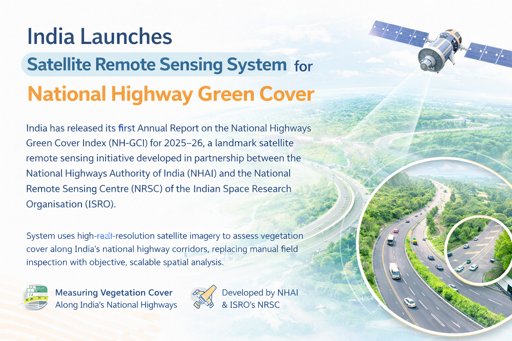
India Launches Satellite Remote Sensing System for National Highway Green Cover
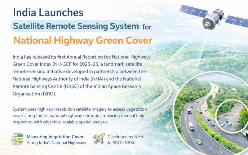
India has released its first Annual Report on the National Highways Green Cover Index (NH-GCI) for 2025–26, a landmark satellite remote sensing initiative developed in partnership between the National Highways Authority of India (NHAI) and the National Remote Sensing Centre (NRSC) of the Indian Space Research Organisation (ISRO). The system uses high-resolution satellite imagery to assess vegetation cover along India’s national highway corridors, replacing manual field inspection with objective, scalable spatial analysis.
Background: Remote Sensing Transforms Highway Environmental Monitoring
Since India’s Green Highways Policy was launched in 2015 under the Ministry of Road Transport and Highways (MoRTH), monitoring plantation health along highway corridors has relied heavily on site visits by field personnel — a method that is costly, inconsistent, and unable to cover the country’s vast highway network at scale. NRSC, headquartered in Hyderabad, is a primary earth observation centre of ISRO and has long maintained capabilities in geospatial
Technology and Satellite Remote Sensing Methodology
Satellite Sensors and Spatial Resolution
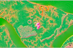
The NH-GCI uses data from Resourcesat-2 and Resourcesat-2A, ISRO’s dedicated earth observation satellites carrying the Linear Imaging Self-Scanning Sensor (LISS-III). These sensors provide multispectral imagery that captures chlorophyll content and vegetation density through analysis of near-infrared and red spectral bands. The system assesses green cover at one-kilometre intervals along the Right of Way (RoW), generating granular metrics for each highway project package.
Validation and GIS Integration
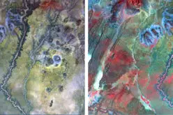
Ground truth validation through field surveys and geo-tagged photographs confirmed approximately 90 percent agreement between satellite-derived estimates and field observations. The NH-GCI outputs are published through a dedicated GIS portal on the Bhuvan platform, ISRO’s national geoportal, providing interactive kilometre-level maps, automated statistics, and downloadable reports. A companion mobile application allows field surveyors to submit geo-tagged images for continuous ground verification.
Also Read – GIS Resources Magazine (Issue 4 | December 2023): Geospatial Technologies for Safer Highways and Transport
Study Area and Implementation Scope
The first assessment cycle covered approximately 30,000 kilometres of national highways in their operation and maintenance phase across 24 Indian states, monitoring conducted from July to December 2024. The index is expressed as a percentage of land covered with vegetation on both sides of the highway corridor. Monitoring is conducted twice a year, enabling NHAI to track seasonal plantation growth and identify low-performing stretches that require targeted intervention.
Applications and Environmental Impact
The NH-GCI enables NHAI to compare and rank individual highway stretches by their green cover performance, guiding targeted replanting and maintenance. Future enhancements include integration of artificial intelligence and machine learning for automated vegetation classification, seasonal plantation monitoring, and connection to carbon sequestration models to quantify the environmental co-benefits of India’s highway greening mission. The system also supports broader goals in urban heat island mitigation, biodiversity corridors, and watershed protection along highway networks.
Conclusion
India’s NH-GCI demonstrates how satellite remote sensing can transform large-scale environmental governance by replacing sporadic field surveys with continuous, objective spatial monitoring. As NRSC and NHAI refine the system, it offers a replicable model for other nations seeking to audit environmental compliance in linear infrastructure projects using space-based technology.
References
1. Central Chronicle (2026, March 9). NHAI releases first Annual Report on National Highways Green Cover Index for 2025–26. https://www.centralchronicle.com
2. Observer Voice (2026, March 10). NHAI Launches Groundbreaking Green Cover Index for National Highways. https://observervoice.com
3. Press Information Bureau, Government of India (2024). NHAI signs MoU with NRSC for Green Cover Index. https://pib.gov.in
4. Swarajya (2026, March 9). NRSC-NHAI Collaboration Produces India’s First Comprehensive Satellite-Based Green Cover Assessment. https://swarajyamag.com