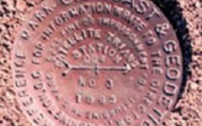
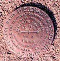
Brass monuments permanently affixed in concrete or surrounding bedrock indicate accurate geodetic reference positions within the NGS horizontal and/or vertical datums. Photo: NOAA
NGS encourages anyone with survey-grade Global Positioning System (GPS) receivers to join the 2014 GPS on Bench Marks Campaign, a National Surveyors Week (March 16-22) event to raise awareness about professional surveying while improving the National Spatial Reference System (NSRS).
The nation’s height system, the North American Datum of 1988 (NAVD88), is founded on historic geodetic leveling surveys on thousands of bench marks that are often difficult and expensive to access. By adding GPS coordinates to these marks, the height system can be modeled in GPS survey systems for easier access. The latest hybrid geoid model,GEOID12A , includes many “GPS on bench mark” observations, but would benefit from additional data collection in many areas.
How to Participate:
- Find local bench marks using the NGS Data Explorer or DSWorld . Review the corresponding datasheet to make sure it is a 1st- or 2nd-order NAVD 88 bench mark
- Pick the best bench marks to help improve the nation’s height system. If using DSWorld, view the GEOID12A accuracy map, and prioritize NAVD 88 bench marks in the areas that are yellow or orange on the map.
- Visit your bench mark of interest and make sure it has a durable, stable setting, with good satellite visibility.
- Record a description and take photos of the bench mark to aid future recovery.
- Collect your data following careful field procedures. You should:
- Collect a 4+ hour GPS data file
- Verify antenna type, height, and plumb
- Use a fixed height tripod (recommended), and brace the legs with sandbags or chain
6. Share your data by uploading to OPUS using option ‘share my solution’.
NGS will use your data to improve the next hybrid geoid model, increasing access to NAVD 88, and enabling conversions to the new vertical datum in 2022.
Read more at official website 2014 GPS on Bench Marks Campaign
If you still have questions, contact a geodetic advisor or your local professional land surveyor’s organization to see if there are any local coordination efforts planned.