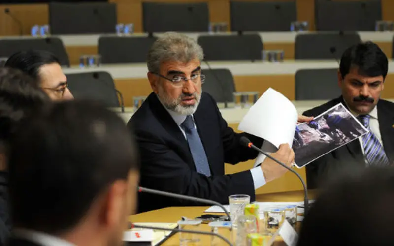
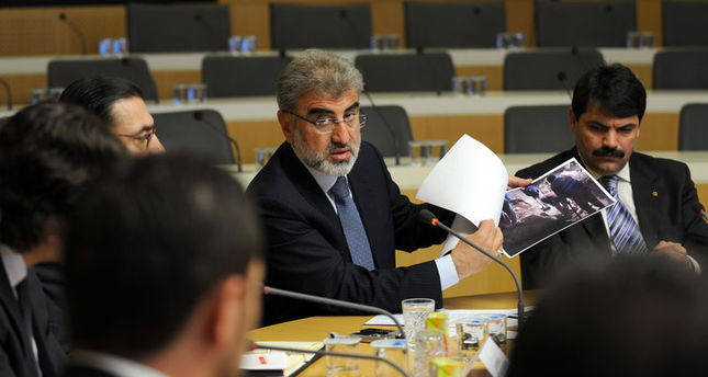
Image Credit: Daily Sabah
In recent news, Turkey and Azerbaijan have started a joint program to explore mineral deposits using earth observation satellites.
As per the agreement Turkey will build a Remote Sensing laboratory where the Azerbaijanstaff will be trained to use the new technology.
Speaking to the Turkish newspaper Sabah, Turkish Energy Minister Taner Yildiz said:
“Turkey was a technology-importing country until today, but now we are exporting technology. Our current situation is significant for Turkey’s representation and its regional location. We are receiving many other requests from different countries for common projects. Turkey has signed many cooperation and project agreements”.
Source: Daily Sabah
Categories:
Remote Sensing