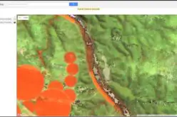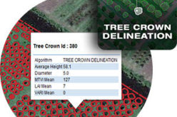
Shri Giriraj Singh, the Union Minister for Rural Development and Panchayati Raj, Government of India, has made the Rural Connectivity GIS Data available to the public. This comprises GIS data for 800,000+ rural facilities as points, 1,000,000+ habitations, and 25,00,000+ km of rural roads, all of which were collected and digitized using the PMGSY GIS platform.
National Rural Infrastructure Development Agency (NRIDA), the PMGSY scheme’s primary implementation agency, inked MoUs with three notable GIS firms, ESRI India, MapmyIndia, and DataMeet, and cooperated with Gati Shakti to release the Rural Connectivity GIS Data in the public domain.
The data in the public domain may help startups, entrepreneurs, enterprises, civic society, academics, and other government departments produce products, conduct research, plan investments, improve service delivery, and respond quickly to disasters.
Also, Read – Geospatial Technologies for The Development in Rural India
In his keynote address, Dr. Ashish Kumar Goel, AS (RD) & DG, NRIDA stated that the Ministry will be launching a hackathon soon with the help of the DataMeet organization, where the data released will be used for data visualization, policy research, and other products with the overall goal of improving rural economy and ease of living.
PM’s vision of AtmaNirbhar Bharat can be achieved only by developing rural India by use of rural infrastructure data.
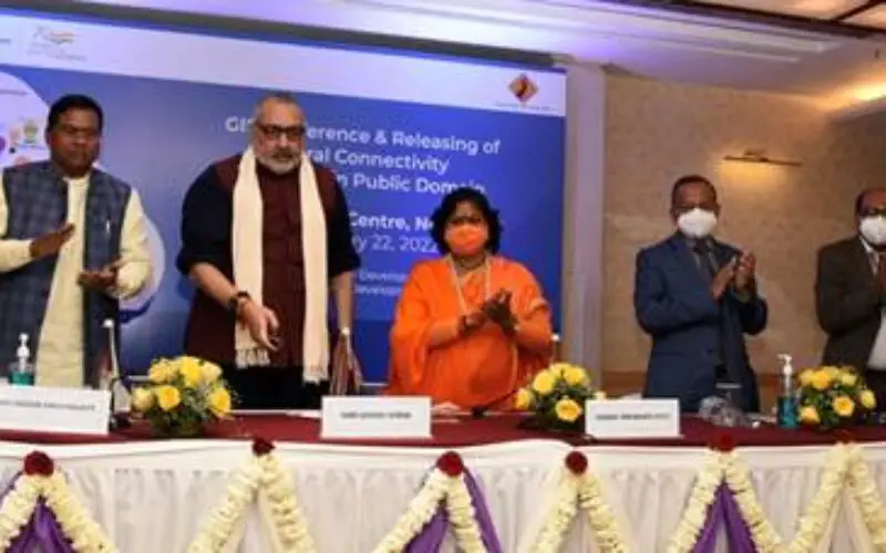
The launch of GIS data was followed by a technical session where presentations were made by ESRI India, MapmyIndia, DataMeet, Gati Shakti, and CDAC Pune.
Link to download PMGSY Rural Connectivity Datasets (PRCD) as released:
https://geosadak-pmgsy.nic.in/OpenData
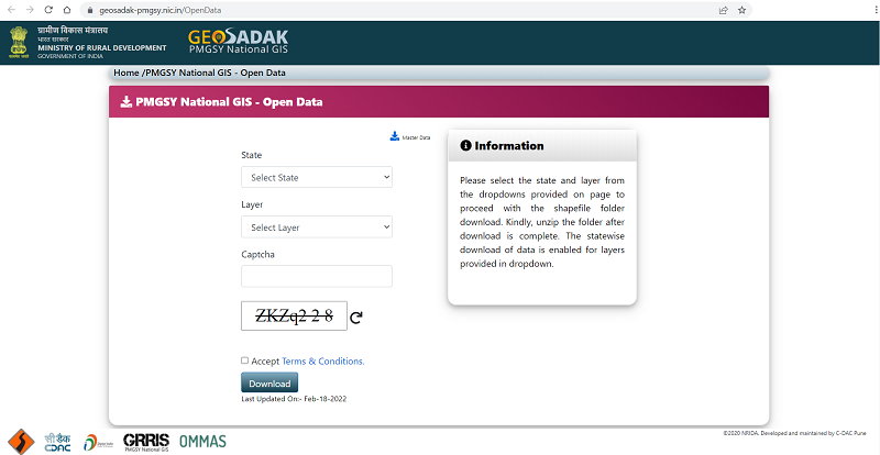
The data is released under the Government of India’s Open Data License and is available free of cost for public consumption.
Also, Read – How Remote Sensing and GIS are Used to Build Check Dams Under MGNREGA?
Gati Shakti is a national master plan and digital platform in India that aims to minimize logistical costs and improve infrastructure by planning and executing infrastructure projects. NRIDA and Gati Shakti are working together to exchange data in order to improve the design and implementation of both initiatives.
Source – PIB