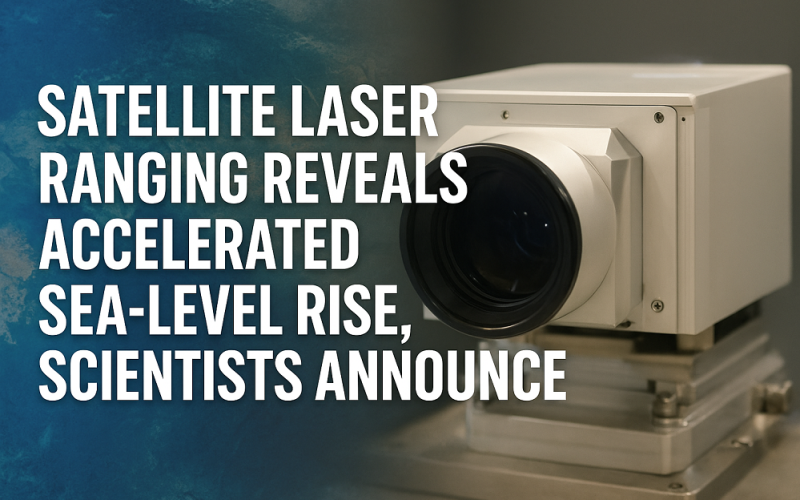
Researchers from Hong Kong Polytechnic University (PolyU) have unveiled a new satellite laser ranging technique that quantifies the accelerated rise in global sea levels over the last 30 years. Their findings, published in Proceedings of the National Academy of Sciences, shed fresh light on how ocean mass increase is becoming a dominant driver of mean sea level growth.
This research underscores the value of precision geodetic measurements in climate science. The team applied the satellite laser ranging method to derive time-variable gravity field data, enabling direct estimates of ocean mass change from 1993 to 2022. Through this approach, they observed that global mean sea level (GMSL) has risen by approximately 90 mm in that interval, with most of the increase linked to additional mass, rather than just thermal expansion.

In earlier climate assessments, satellite altimetry monitored total sea level changes, but could not clearly separate the contributions from ocean warming and from mass gain. The satellite laser ranging technique helps fill that gap: by measuring subtle changes in Earth’s gravity field, it enables scientists to isolate the barystatic component—i.e. the change in water mass itself.
According to Prof. Jianli Chen, Chair Professor of Space Geodesy and Earth Sciences at PolyU, “Our work provides the first direct record of global ocean mass change over three decades.” He added that since around 2005, the trend in sea-level rise has been increasingly driven by mass accumulation, notably from melting land ice. Dr. Yufeng Nie, co-author, said the results align well with altimetry records after adjusting for thermal expansion, validating both methods.
The study uses an innovative forward modelling technique to overcome limitations of classical SLR—such as sparse satellite coverage, limited ground stations, and coarse spatial resolution. By incorporating detailed geographic information of ocean-land boundaries, the researchers enhanced spatial resolution, making localized mass change estimates more reliable.
Climate scientists view this advance as a major contribution to long-term monitoring of sea-level budgets. Separating the ocean mass signal is critical to understanding how much melting ice and land-based water input is accelerating. As global warming intensifies, knowing precisely how much sea level rise comes from added mass is key to anticipating coastal risk, preparing adaptation strategies, and improving climate models.
The authors urge that future climate scenarios must account explicitly for accelerating mass contributions. Their data show that over 80 % of the mass increase came from land ice melt, and that mass-driven rise now outpaces thermal expansion in many regions. This revelation recalibrates the way we project coastal vulnerabilities, placing more urgency on glacier, ice sheet, and polar monitoring.
With this satellite laser ranging innovation, the scientific community gains a sharper tool to track sea-level change—and nations gain a more reliable foundation on which to plan resilient infrastructure in the face of climate change.
Source: Optics.org