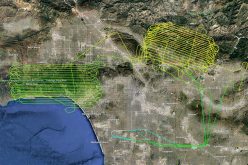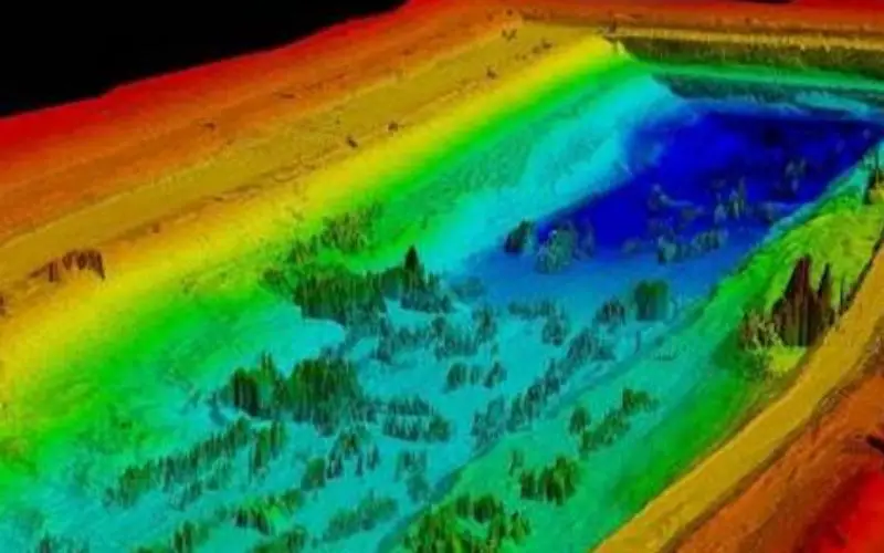
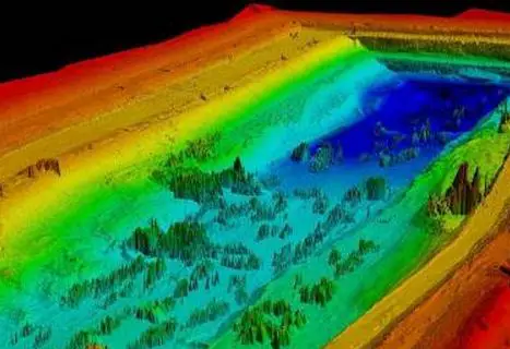
LiDAR Point Cloud Data
As reported in The New Indian Express, the Telangana Government is all set to start the LiDAR survey of the altered Pranahita – Chevella project from August 18. The state government got all the necessary clearance from the Union Defence Ministry to carry out survey using LiDAR technology.
As decided earlier the project is splited into two parts. One barrage will be constructed at Tummidihatti in Adilabad and the other at Medigadda near Kaleswaram and a canal would be dug from Medigadda to Yellampalli.
First Medigadda barrage and canals will be surveyed using LiDAR technology. This will take 15 days to complete the survey. The LiDAR point cloud data will provide a detailed topography of terrain. The analysis of data will be useful in generation of Digital Elevation Model (DEM) of terrain, which could slope analysis.
The study of data could further be useful in planning of new canals, barrages and in efficient water handling for irrigation.
Lidar survey will start on August 18 and will take 15 days to complete. ‘’We will require another 15 days to analyse the data and proceed with the construction of the barrage at Medigadda to draw Godavari waters,” sources said.